Our data for Land Surface Temperature is based on the data from Copernicus project in Europe. This page purposes to explain detailed information for the downloadable data.
Example Dataset
Please download a free example dataset and use it in you app or analysis.
URL Expiration
All downloadable URLs expire in 90 days after your order.
Frequency and Update
The frequency is hourly. Also, generally, the latest data is usually updated within 1-2 hours after the latest Copernicus data is published. According to the Copernicus page, for the term from 2021 to present, “The global LST product is produced every hour in Near Real Time after less than 4 hours of the observation” and, for the term from 2010 to 2021 “The global LST product is produced every hour in Near Real Time after less than 3 hours of the observation.”
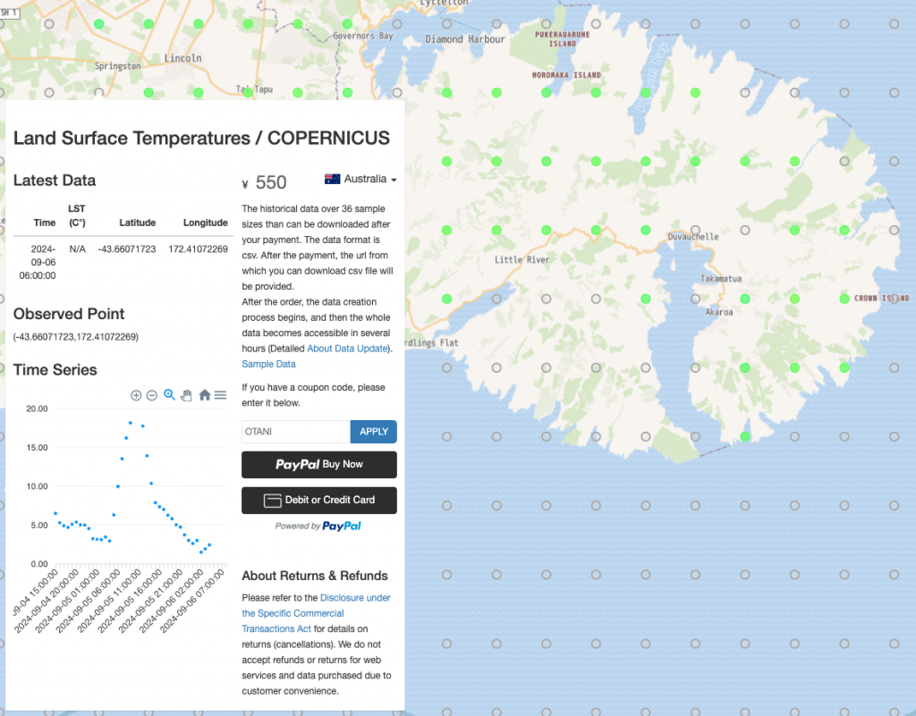
When you see your ordered data first time, you would recognize that the data does not contain the whole data (01 January, 2021 00:00:00 – present). This is NOT a bug but the data creation process has not done yet. After the order, the process begins, and then the whole data becomes accessible in several hours. In every 15 minutes, the data is revised in the direction of both the future and in the past.
Data Format
The default format is csv where no single/double quotation marks are used in the file. The rows having only the value of time mean that LSTs are not observed at the point. Also, the geojson format is available, changing the file extension in the provided url from “csv” to “geojson.” Note that the geometry of geojson format is Point.
Tips for Using
Although, on our Web, Celsius is used for the unit of LST, as written below, the unit of LST on the downloadable data is Kelvin. Also, the time is not, as written below, observed time but published time. These two points should be fixed.
- Convert the unit of LST from Kelvin to Celsius. (Celsius = Kelvin – 273.15. It is LST – 273.15).
- Convert time, using the value of time and TIME_DELTA, the near real time (Deduct 240 + TIME_DELTA minutes from time. It is time – (4 * 60 minutes + TIME_DELTA). This is the case in using the data from 2021 to present. Using the data from 2010- 2021, the hour used in the equation should vary to 3.
- Fix the converted time to your time zone.
Example
Example on Spreadsheet (the columns named Observed Time and LST (C°) are added).
Column Names / Property Names
2021-Present
| Names | Description | Physical unit / classes | Physical min | Physical max | Digital max | Scaling | Offset |
| time | Datetime the Copernicus file is published (GST). | YYYY-MM-DD hh:mm:ss | 2021-01-18 14:00:00 | – | – | – | – |
| lat | Latitude | Decimal | -60 | 70 | – | – | – |
| lon | Longitude | Decimal | -180 | 180 | – | – | – |
| ERRORBAR_LST | Error bar for LST | K | 0° | 50° | 5000 | 1/100 | 0 |
| LST | Land Surface Temperature | K | 203.15 (-70°C) | 353.15 (80°C) | 8000 | 1/100 | 273.15 |
| PERCENT_PROC_PIXELS | Percentage of processed pixels used in the data fusion step, when merging the data from various geostationary satellites | % | 0 | 100 | 100 | – | – |
| Q_FLAGS | Bitwise quality information, including information on the satellite used and cloudiness | – | 0 | 64 | 64 | – | – |
| TIME_DELTA | Time between the pixel observation time and the reference time as in the file name | Minutes | -30 | 30 | 30 | – | – |
2010-2021
| Names | Description | Physical unit / classes | Physical min | Physical max | Digital max | Scaling | Offset |
| time | Datetime the Copernicus file is published (GST). | YYYY-MM-DD hh:mm:ss | – | 2021-01-18 13:00:00 | – | – | – |
| lat | Latitude | Decimal | -60 | 70 | – | – | – |
| lon | Longitude | Decimal | -180 | 180 | – | – | – |
| ERRORBAR_LST | Error bar for LST | K | 0° | 50° | 5000 | 1/100 | 0 |
| LST | Land Surface Temperature | K | 203.15 (-70°C) | 353.15 (80°C) | 8000 | 1/100 | 273.15 |
| PERCENT_PROC_PIXELS | Percentage of processed pixels used in the data fusion step, when merging the data from various geostationary satellites | % | 0 | 100 | 100 | – | – |
| Q_FLAGS | Bitwise quality information, including information on the satellite used and cloudiness | – | 0 | 64 | 64 | – | – |
| TIME_DELTA | Time between the pixel observation time and the reference time as in the file name | Minutes | -30 | 30 | 30 | – | – |
Further Details on the Land Surface Temperatures Data
For further details, concerns such as satellite sensors and data accuracy, please refer the Copernicus pages.
Land Surface Temperature 2021-present (raster 5 km), global, hourly – version 2
Land Surface Temperature 2010-2021 (raster 5 km), global, hourly – version 1