
O2 Farmland
Global Farmland Monitoring. - Offering easy-access to data for all professionals.


Farmland
O2 Farmland is a global farmland monitoring service, offering professionals across industries instant access to essential agricultural data derived from reliable sources. With paid accounts, you can access satellite data (LST, NDVI, and Soil Water Index), soil data, and sunlight hours, and combine them seamlessly to create custom datasets. Save time on data collection and cleaning and focus on optimizing your farmland's productivity.
O2 Data Store
O2 Data Store, a platform designed to make high-quality satellite data more accessible to professionals across industries. The store features data products from leading satellite programs, including Copernicus, NOAA, and JAXA, and offers user-friendly formats such as CSV and GeoJSON, allowing consultants, marketers, and other non-technical users to easily work with satellite data.
Topics
- 2025/05/23 Scholarships for Year 1–6 Students in Christchurch, New Zealand
- 2025/05/23 Scholarships for Year 1–6 Students in Auckland, New Zealand
- 2025/05/23 Financial Assistance for Year 1–6 Students in Wellington, New Zealand
- 2025/05/23 Financial Assistance for Year 1–6 Students in Dunedin, New Zealand
- 2025/05/23 Financial Support for Year 1–6 Students in Whanganui, New Zealand
- 2025/04/18 Going Solar Power in Canada: Slash Bills, Boost Resilience
- 2025/04/18 Solar Power for American Homeowners: Cut Your Power Bills and Take Control
- 2025/04/18 Solar Power and Kiwi Homes: Lowering Power Bills and Building Energy Independence
Japan
- 2025/04/18 太陽光発電は家計の味方か?
- 2025/04/15 日本における家庭用に最適なソーラーパネルとは? ― 日照条件・設置費用・コストメリットを踏まえた選び方
- 2025/04/15 ソーラーパネルはどう機能するのか?―日本の気候に最適な素材とは
- 2025/04/15 ソーラーパネル選定における「地表面温度」の重要性
- 2025/04/13 ソーラーパネルブランドとその特徴の紹介
New Zealand
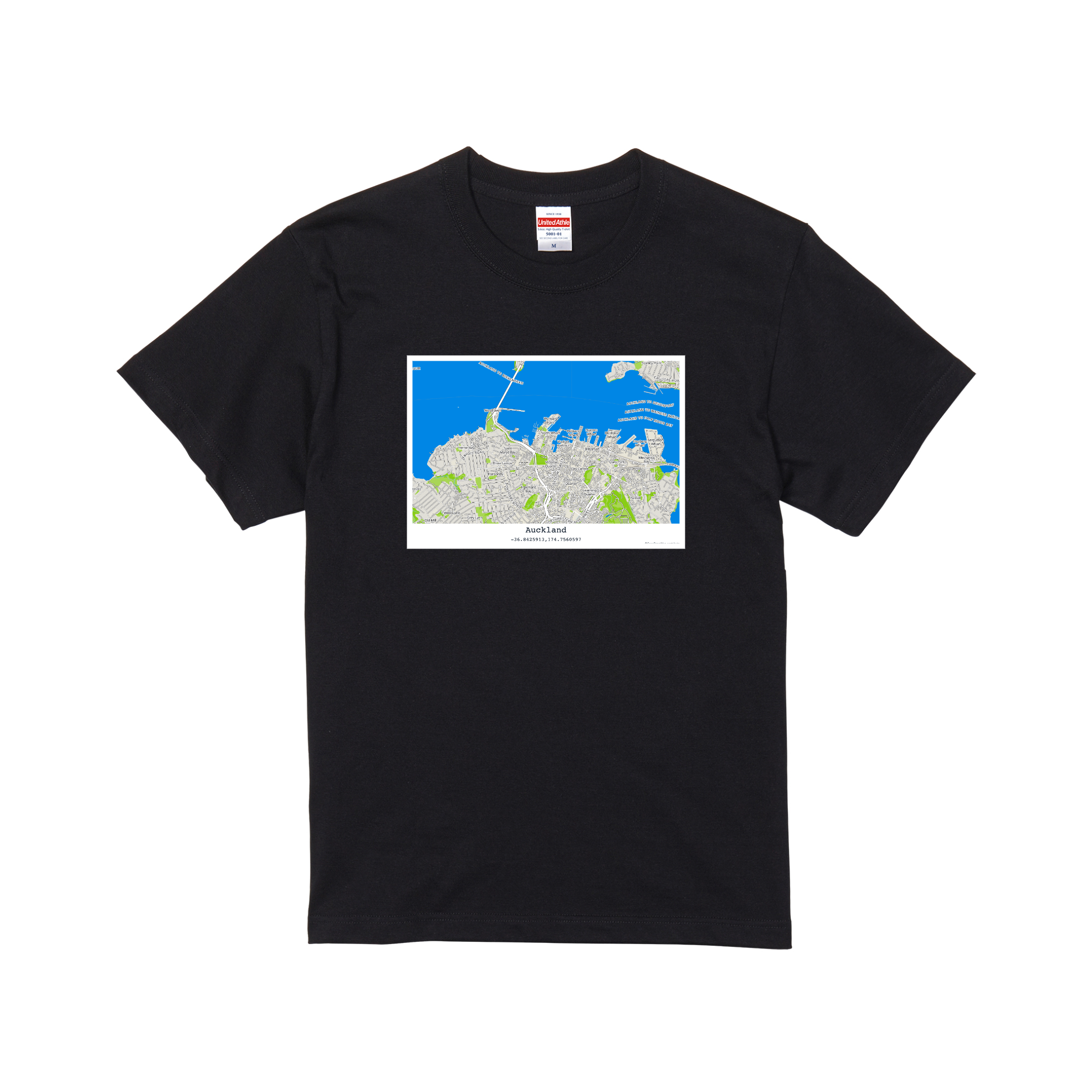
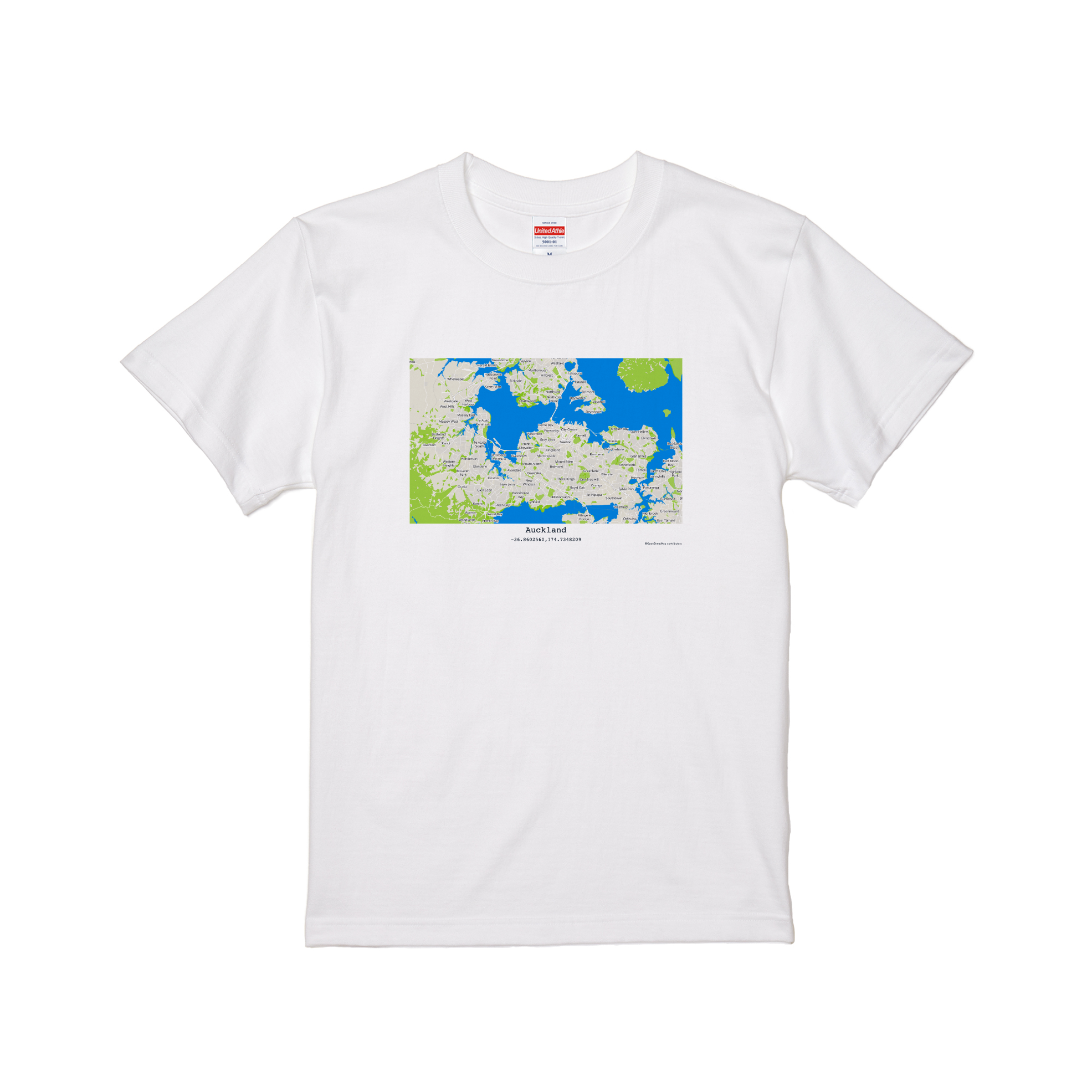
- 2026/05/28 O2 Location Text Assistant Example : Auckland Real Estate
- 2025/05/23 Scholarships for Year 1–6 Students in Christchurch, New Zealand
- 2025/05/23 Scholarships for Year 1–6 Students in Auckland, New Zealand
- 2025/05/23 Financial Assistance for Year 1–6 Students in Wellington, New Zealand
- 2025/05/23 Financial Assistance for Year 1–6 Students in Dunedin, New Zealand
Pro
GEEO Proは不動産のプロフェッショナル及び投資家向けのサービスです。 92%の精度の価格推定エンジンを月額費用¥5,400/名(税込)からはじめられます。 価格の変動リスクを顕在化させることで、不動産事業の適切な判断を行うことをソフトウェアでお手伝い致します。

Free
GEEO Freeは無料でお使い頂ける分析サービスです。 地図をクリック又はタップで指定した条件に基づく不動産の価格を算出できます。 また、Emailとパスワードをご登録頂くと、条件を変更することができ、ご自宅や各種物件の価格のご参考にお使い頂けます。

API & Analytics
GEEOではAPI(Application Programming Interface)とAnalyticsのサービスを提供しています。 APIを使用することで、Webサイトやお使いのソフトウェア等に組み込む事ができます。 また、独自の地理空間分析用のAI(機械学習を用いたエンジン)を用いると、不動産以外の分野でも予測 や分析が行えます。