Our data for Soil Water Index Global (12.5km) is based on the data from Copernicus project in Europe. This page purposes to explain detailed information for the downloadable data.
Example Dataset
Please download a free example dataset and use it in you app or analysis.
URL Expiration
All downloadable URLs expire in 90 days after your order.
Frequency and Update
The frequency is daily. Also, the latest data is usually updated within 12-24 hours after the latest Copernicus data is published.
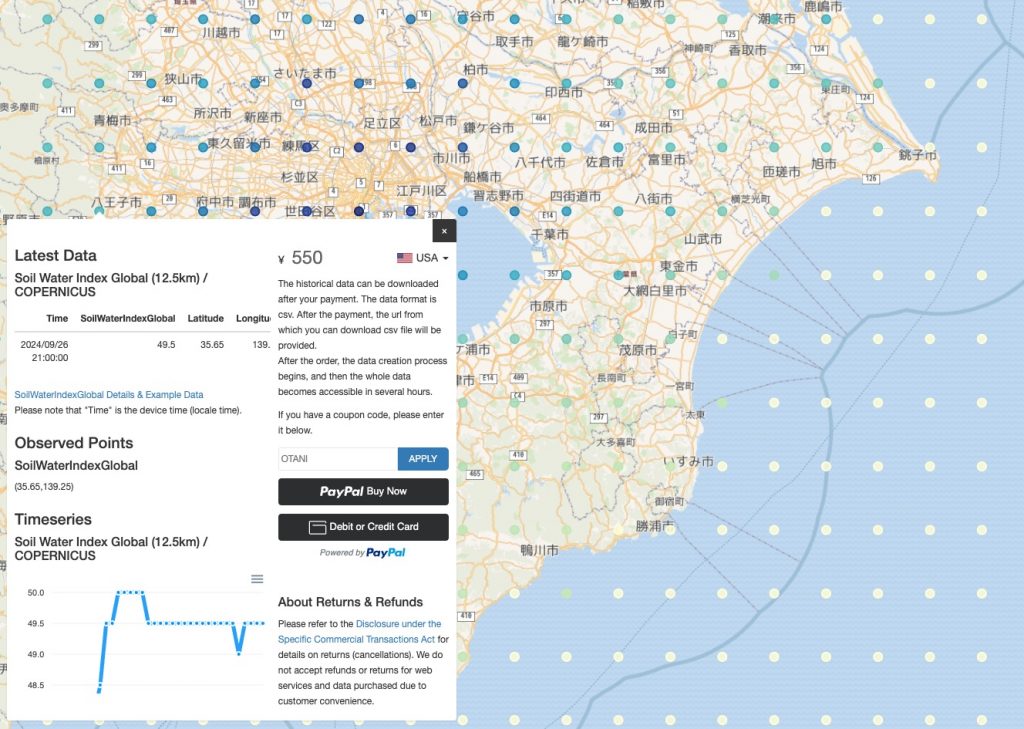
When you see your ordered data first time, you would recognize that the data does not contain the whole data. This is NOT a bug but the data creation process has not done yet. After the order, the process begins, and then the whole data becomes accessible in several hours. In every 15 minutes, the data is revised in the direction of both the future and in the past.
Data Format
The default format is csv where no single/double quotation marks are used in the file. Also, the geojson format is available, changing the file extension in the provided url from “csv” to “geojson.” Note that the geometry of geojson format is Point.
Example
Column Names / Property Names
| Names | Description | Physical unit / classes | Physical min | Physical max | Digital max | Scaling | Offset |
| time | Datetime the Copernicus file is published (GST). | YYYY-MM-DD 12:00:00 | – | – | – | – | – |
| lat | Latitude | Decimal | -90 | 90 | – | – | – |
| lon | Longitude | Decimal | -180 | 180 | – | – | – |
| SWI (_001 to _60) | Soil Water Index at different time lengths | % | 0 | 100 | 200 | 0.5 | 0 |
| SoilWaterIndexGlobal | SWI_100 | % | 0 | 100 | 200 | 0.5 | 0 |
| QFLAG (_001 to _100) | Quality flag for different time lengths | % | 0 | 100 | 200 | 0.5 | 0 |
| SSF | Surface State Flag | – | 0 | 3 | 3 | 1 | 0 |
Please note that the column SoilWaterIndexGlobal is SWI_100.
Further Details on Soil Water Index Global
For further details, concerns such as satellite sensors and data accuracy, please refer the Copernicus pages.
Soil Water Index 2007-present (raster 12.5 km), global, daily – version 3