In recent years, satellite technology has become an invaluable tool for revolutionizing agriculture, especially crop cultivation and farming. By providing precise, up-to-date information on various environmental and crop conditions, satellite data is empowering farmers, agribusinesses, and policymakers to make data-driven decisions that enhance productivity, sustainability, and food security.
The Role of Satellite Data in Agriculture
Satellite data offers unique insights into agricultural ecosystems by capturing information on land, vegetation, and weather at a global scale. Some of the most impactful applications include:
- Monitoring Crop Health Satellites equipped with multispectral sensors, such as those on Sentinel-2 or Landsat, measure vegetation indices like the Normalized Difference Vegetation Index (NDVI). NDVI provides critical insights into plant health, enabling early detection of stress caused by pests, diseases, or water deficiencies.
- Precision Farming Satellite imagery allows farmers to practice precision agriculture by targeting specific areas of a field for irrigation, fertilization, or pest control. This targeted approach minimizes resource waste and maximizes yields.
- Drought and Water Management Satellites like SMAP (Soil Moisture Active Passive) monitor soil moisture levels, providing crucial data for efficient water management and drought preparedness. Such information helps farmers optimize irrigation schedules and conserve water resources.
- Weather Forecasting and Climate Analysis By providing accurate and timely weather data, satellites help predict extreme weather events, enabling farmers to take preventive measures. Additionally, long-term climate data assists in planning crop rotations and selecting resilient crop varieties.
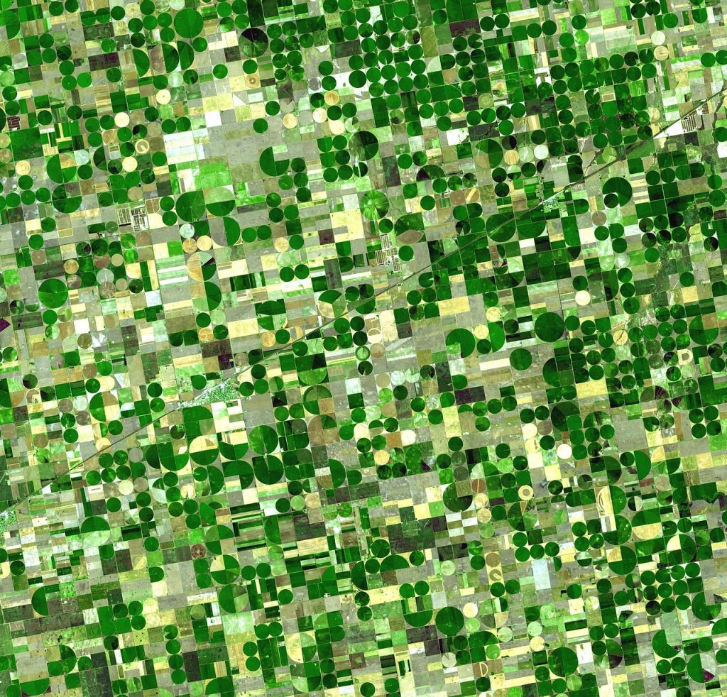
- Land Use and Soil Mapping High-resolution satellite images are used to map land use and soil types, aiding in the identification of the most suitable areas for specific crops. This information also helps in monitoring deforestation and land degradation.
Case Studies: Real-World Applications
- Improving Wheat Harvest Predictions Organizations are leveraging NDVI-based indices to estimate wheat yields accurately. These indices are updated regularly and provide valuable insights to farmers, media, and finance professionals about potential harvest outcomes.
- Fighting Desertification in Africa In regions like the Sahel, satellite data is being used to monitor reforestation projects, assess the success of sustainable land management practices, and guide efforts to combat desertification.
- Insurance for Smallholder Farmers Satellite-derived weather and crop data are increasingly used in parametric insurance schemes. These schemes provide payouts to farmers based on predefined triggers, such as drought or excessive rainfall, reducing the financial risks associated with farming.
Challenges and Opportunities
Despite its potential, the integration of satellite data in agriculture faces challenges:
- Access and Affordability: High-resolution satellite imagery can be expensive, limiting its accessibility to small-scale farmers.
- Technical Expertise: Farmers often require training to interpret satellite data effectively and integrate it into their practices.
- Data Integration: Combining satellite data with other sources, such as IoT sensors and ground surveys, is crucial but can be complex.
Emerging technologies like generative AI, cloud computing, and open-access platforms are addressing these challenges. For instance, platforms that provide affordable, user-friendly dashboards for satellite data are becoming increasingly popular.
Future Prospects
The future of satellite data in agriculture looks promising. Advances in machine learning and artificial intelligence will enable more accurate and actionable insights. Moreover, as satellite technology becomes more affordable, its adoption by smallholder farmers is expected to grow, bridging the gap between technology and traditional farming practices.
In conclusion, satellite data is a game-changer for agriculture, offering tools to enhance productivity, sustainability, and resilience in the face of climate change. By harnessing its full potential, we can take significant strides toward achieving global food security.