New Zealand, a nation renowned for its lush landscapes and agricultural prowess, is turning to the skies to meet modern challenges in farming. Satellite technology is becoming a cornerstone of the country’s agricultural strategy, offering a bird’s-eye view of the land and empowering farmers with insights that were once unimaginable.
How Satellites Are Changing New Zealand Agriculture
Satellite data provides a panoramic perspective on New Zealand’s agricultural landscapes, making it easier to manage and optimize resources. The applications are as varied as the country’s geography, spanning dairy pastures, vineyards, and orchards. Here are some key areas where satellites are making an impact:
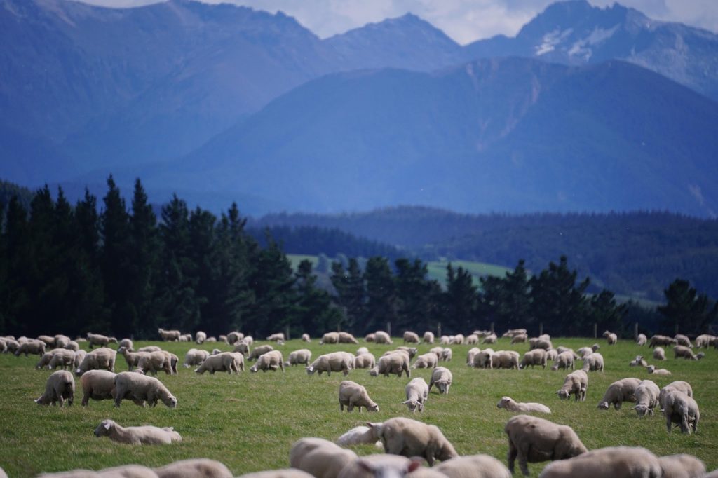
- Pasture Management from Above For New Zealand’s dairy and sheep farmers, healthy pastures are the lifeblood of their operations. Satellite imagery, particularly NDVI data, reveals the health and growth of vegetation in real-time. This enables farmers to adjust grazing schedules and address problems like overgrazing or nutrient deficiencies before they escalate.
- Vineyard Optimization with Precision New Zealand’s wine regions, such as Marlborough and Central Otago, are using satellite technology to perfect their craft. By tracking soil conditions, vine health, and microclimates, winemakers can make data-driven decisions about irrigation, pruning, and harvest timing, ultimately enhancing grape quality and reducing waste.
- Conserving Water in Dry Regions Areas like Canterbury, known for their agricultural productivity, often grapple with water scarcity. Satellites like SMAP provide crucial soil moisture data, helping farmers prioritize irrigation where it’s most needed and conserve precious water resources.
- Weather and Climate Insights Extreme weather events are a growing concern for New Zealand’s farmers. Satellite-based weather models help predict floods, droughts, and storms, allowing for proactive measures. Additionally, long-term climate trends offer guidance on crop selection and rotation strategies to ensure resilience.
- Mapping and Monitoring Land High-resolution satellite imagery maps New Zealand’s diverse landscapes, from rolling farmlands to rugged forestry areas. These maps guide decisions about land use, soil management, and erosion control, promoting sustainability across the agricultural sector.
Real-World Impact: Stories from the Fields
- A Dairy Revolution in Waikato Satellite data is transforming dairy farming in the Waikato region. By monitoring pasture conditions, farmers are achieving higher milk yields and reducing environmental impacts through more efficient land use.
- Kiwifruit Excellence in Bay of Plenty In the Bay of Plenty, kiwifruit growers are leveraging satellite-based insights to ensure optimal crop health. By pinpointing areas of stress, growers can tackle issues with precision, improving fruit quality and yield.
- Forests Under Watchful Eyes New Zealand’s forestry industry is using satellite data to monitor deforestation and assess the health of plantations. This proactive approach ensures compliance with environmental regulations and supports sustainable practices.
Overcoming Challenges
While the benefits of satellite technology are clear, adoption is not without hurdles:
- Cost Barriers: High-resolution imagery can be expensive, particularly for smaller operations.
- Knowledge Gaps: Farmers need training to interpret satellite data effectively and apply it to their practices.
- Integration Complexity: Combining satellite data with other technologies, like IoT sensors, requires sophisticated systems and expertise.
However, initiatives such as open-access platforms and government-backed training programs are bridging these gaps, making satellite data more accessible and practical for farmers across New Zealand.
Looking Ahead: A Bright Horizon
As satellite technology continues to evolve, so too will its applications in agriculture. Advances in machine learning and AI promise even greater precision and predictive capabilities. Affordable satellite services are also on the horizon, ensuring that even small-scale farmers can reap the benefits of this cutting-edge technology.
In New Zealand, where agriculture is both a cultural cornerstone and an economic driver, satellites offer a way to honor tradition while embracing innovation. By integrating satellite data into everyday farming practices, the country is poised to lead the world in sustainable and efficient agriculture.