New Zealand, a nation renowned for its agricultural excellence, is turning to satellite technology to address modern challenges and enhance productivity. Around Christchurch, the heart of the Canterbury Plains, this technological shift is making a profound impact, revolutionizing traditional farming practices and improving resource management.
The Role of Satellite Technology in Canterbury Agriculture
Christchurch and its surrounding regions are characterized by fertile plains, intensive farming, and a variety of crops and livestock operations. Here, satellite data provides farmers with critical insights tailored to the unique needs of the area:
- Optimizing Irrigation in Water-Scarce Areas The Canterbury Plains, while agriculturally productive, often face water scarcity. Satellites such as SMAP (Soil Moisture Active Passive) and Sentinel-2 are instrumental in monitoring soil moisture levels. Farmers around Christchurch use this data to prioritize irrigation, ensuring that water is applied efficiently and only where it’s needed most. This not only conserves water but also reduces costs.
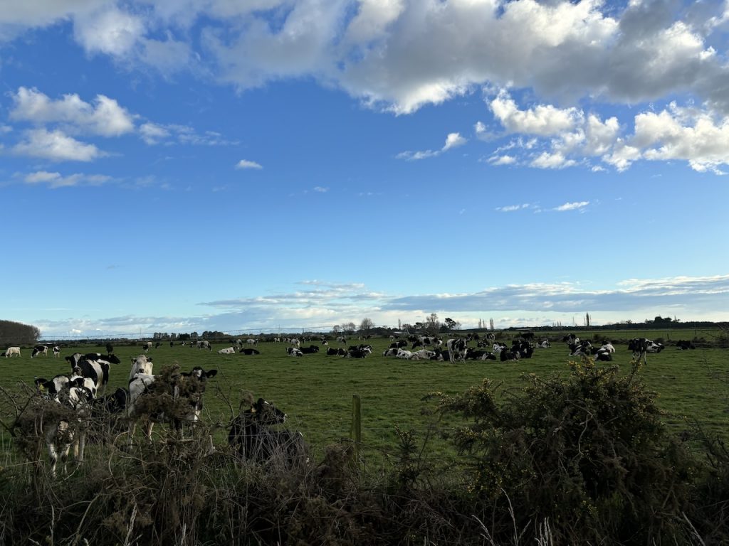
- Enhancing Pasture Management Livestock farming is a cornerstone of the Canterbury region. Satellite-derived NDVI (Normalized Difference Vegetation Index) data helps farmers monitor pasture health and growth rates. This allows for better grazing management, ensuring that livestock have access to nutritious feed while avoiding overgrazing, which can lead to soil degradation.
- Supporting Arable Farming Crops such as wheat, barley, and vegetables thrive in the fertile soils around Christchurch. Satellite imagery tracks crop health, detects early signs of disease or nutrient deficiency, and maps areas needing targeted interventions. Farmers can then act promptly, reducing input costs and boosting yields.
- Weather and Disaster Preparedness Extreme weather events, including floods and droughts, pose significant risks to Canterbury’s agriculture. Satellite-based weather forecasting provides real-time alerts, enabling farmers to protect their crops and livestock. For instance, when heavy rains are forecast, drainage systems can be adjusted to prevent waterlogging of fields.
- Sustainability and Land Use Planning High-resolution satellite imagery is crucial for mapping land use around Christchurch. This information aids in identifying areas prone to erosion, monitoring riverbank stability, and planning sustainable land use practices. It also supports reforestation efforts and helps balance agricultural needs with environmental conservation.
Real-World Examples from the Christchurch Region
- Dairy Farms Adopting Precision Agriculture In the outskirts of Christchurch, dairy farmers are using satellite data to monitor pasture quality and optimize grazing patterns. By integrating satellite imagery with IoT sensors, they’re achieving higher milk yields while minimizing environmental impacts such as nitrogen runoff.
- Efficient Water Use in Crop Farming Farmers growing crops like potatoes and carrots near Ashburton, south of Christchurch, are leveraging soil moisture data from satellites to fine-tune irrigation schedules. This approach has significantly reduced water waste and improved crop quality.
- Vineyards in North Canterbury The boutique vineyards of Waipara Valley are utilizing satellite technology to monitor vine health and soil conditions. By analyzing microclimatic data, winemakers are improving grape quality and achieving more consistent harvests.
Addressing Challenges in the Region
While the benefits are clear, adopting satellite technology in the Christchurch region comes with its own set of challenges:
- Cost Accessibility: For smaller farms, the cost of high-resolution imagery and related tools can be prohibitive.
- Technical Expertise: Farmers often require training to interpret satellite data and integrate it into their operations effectively.
- Data Integration: Combining satellite data with existing systems, such as IoT devices or farm management software, requires careful planning and investment.
To address these issues, local initiatives and government programs are working to make satellite technology more accessible. Collaborative efforts between agricultural research institutions and farmers are also fostering innovation in the region.
The Future of Farming Around Christchurch
The potential for satellite technology in the Christchurch agriculture is immense. Advances in machine learning and AI will enable even more precise analysis of satellite data, providing actionable insights tailored to specific crops and conditions. Affordable access to satellite imagery and user-friendly platforms are also on the horizon, ensuring broader adoption among farmers.
As Christchurch continues to embrace satellite technology, it’s not just about improving productivity—it’s about fostering a sustainable, resilient agricultural system. By integrating these advanced tools into daily practices, the region is setting an example for how traditional farming can coexist with cutting-edge innovation.