In the age of digital transformation, satellite data is revolutionizing the agricultural sector. Its ability to provide comprehensive and real-time insights into crop health, weather conditions, and soil moisture has become invaluable for farmers and producers around the world. One notable example is Hawke’s Bay, New Zealand, a renowned wine-producing region where satellite data is being utilized to optimize vineyard management and enhance wine quality. This article explores how satellite technology is shaping agriculture in Hawke’s Bay, specifically focusing on its impact on wine production.
Understanding Hawke’s Bay: A Hub for Wine Production
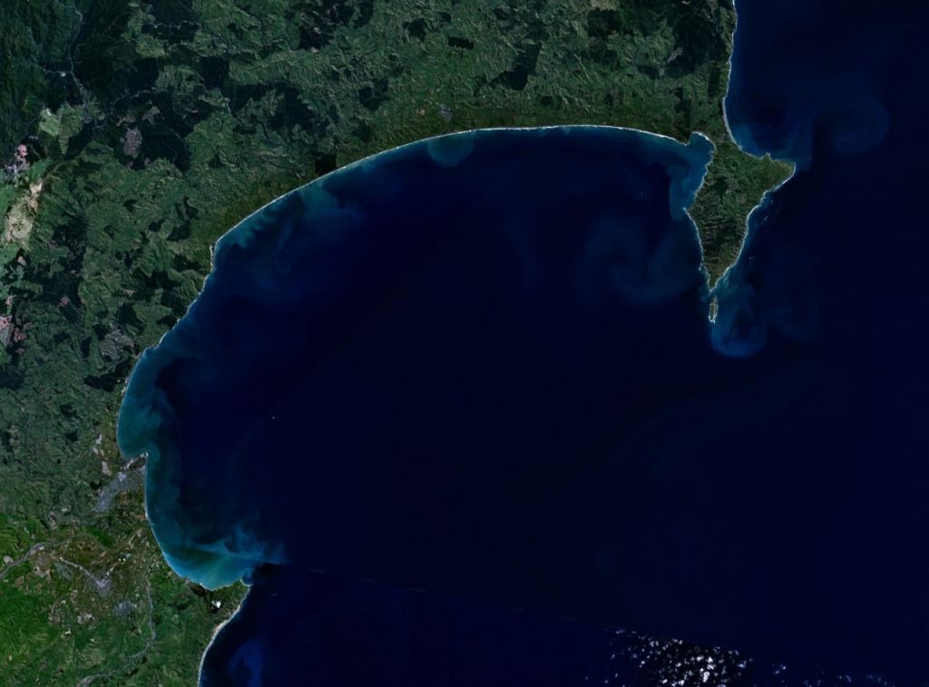
Hawke’s Bay, located on the North Island of New Zealand, is one of the country’s most significant wine regions. The region benefits from a temperate climate with long, sunny days and cool nights, creating ideal conditions for growing a variety of grapes. The region is known for its exceptional wines, particularly those produced from Cabernet Sauvignon, Merlot, and Chardonnay grapes. Given the large number of vineyards spread across the region, managing crops efficiently is essential to ensuring high-quality wine production.
How Satellite Data Is Enhancing Agricultural Practices
- Monitoring Crop Health: Satellite imagery allows vineyard managers to closely monitor the health of their crops. High-resolution images captured by satellites such as those with multispectral sensors can detect variations in vegetation health. By analyzing these images using vegetation indices like the Normalized Difference Vegetation Index (NDVI), farmers can identify areas in the vineyard that are experiencing stress due to factors such as drought, disease, or pest infestation. Early identification of issues allows for timely intervention, minimizing damage and optimizing yields.
- Precision Irrigation: Water management is crucial for vineyards, particularly in regions where water resources may be limited. Satellite data, in conjunction with ground-based sensors, can provide detailed insights into soil moisture levels across different parts of a vineyard. This enables farmers to apply water more efficiently, reducing waste and ensuring that crops receive the right amount of irrigation for optimal growth. Satellite data helps to identify areas with excessive moisture or those that may be under-irrigated, allowing for precise adjustments.
- Weather Forecasting and Climate Analysis: Weather patterns play a significant role in determining the quality and quantity of grape harvests. Satellite data provides accurate weather forecasting and climate analysis, offering insights into temperature variations, rainfall patterns, and extreme weather events such as frosts or heatwaves. By understanding long-term climate trends and real-time weather data, vineyard managers can make informed decisions about harvest timing, vineyard practices, and resource management.
- Crop Yield Estimation: Yield forecasting is an essential aspect of agricultural planning. Satellite data can help estimate the potential yield of vineyards by analyzing crop health, plant growth, and development stages. By integrating satellite data with advanced machine learning models, vineyard managers can predict harvest outcomes with greater accuracy. This allows for better supply chain planning, marketing, and financial forecasting, ensuring that wineries can meet demand while maintaining quality.
- Soil Health and Fertilization: Soil health is a critical factor in determining the success of a vineyard. Satellite data, when combined with ground-based soil sensors, can provide information about soil composition, pH levels, and nutrient content. By analyzing this data, vineyard managers can tailor their fertilization strategies to ensure that the soil conditions are optimal for grape production. Precision fertilization techniques reduce the overuse of fertilizers, which can lead to environmental degradation, while promoting sustainable agricultural practices.
Sustainable Wine Production and Environmental Monitoring
As sustainability becomes an increasingly important factor in the global wine industry, satellite data plays a vital role in helping vineyards adopt eco-friendly practices. For example, satellite data can be used to monitor the impact of vineyards on surrounding ecosystems, including nearby rivers, forests, and wildlife habitats. By tracking land use changes and monitoring water usage, vineyards can ensure they are adhering to sustainable farming practices and minimizing their environmental footprint.
Additionally, satellite data helps in monitoring and managing the effects of climate change. By tracking temperature fluctuations, changes in precipitation patterns, and rising sea levels, vineyard managers in Hawke’s Bay can adapt their practices to mitigate the risks posed by climate change. This includes selecting more resilient grape varieties, adjusting vineyard layouts, or implementing new farming practices to cope with changing conditions.
The Future of Satellite Data in Wine Production
The use of satellite data in wine production is still evolving, with advancements in technology continuing to open up new possibilities for vineyard management. As more sophisticated satellites with higher resolution and more advanced sensors are launched, the accuracy and depth of data available to farmers will only increase. Additionally, the integration of satellite data with artificial intelligence (AI) and machine learning models will enable even more precise predictions and recommendations for vineyard managers.
In the future, satellite data could also be used for tracking the entire supply chain of wine production, from grape cultivation to bottling and distribution. This could help ensure the authenticity of wines and support sustainable practices throughout the industry.
Conclusion
The integration of satellite data into agricultural practices in Hawke’s Bay, particularly in wine production, is transforming how vineyards are managed. By leveraging real-time data on crop health, soil conditions, weather patterns, and more, vineyard managers can optimize their operations for better yields, quality, and sustainability. As the technology continues to evolve, satellite data will play an increasingly pivotal role in shaping the future of agriculture, enabling farmers and producers to meet the challenges of a rapidly changing environment while maintaining the excellence for which Hawke’s Bay wines are known.