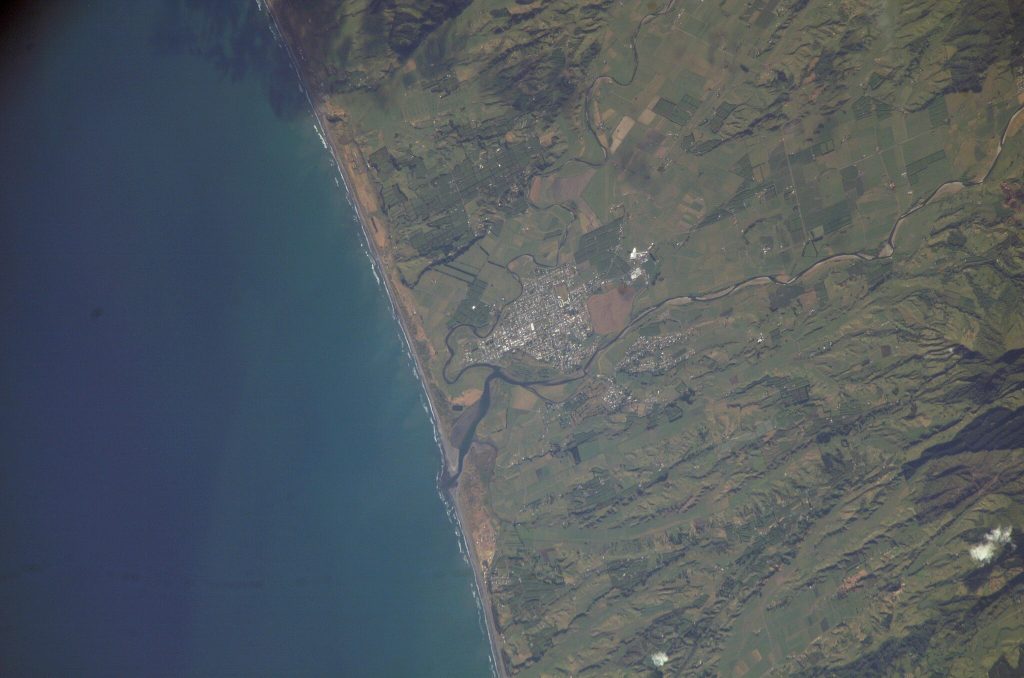
The Bay of Plenty, located on the North Island of New Zealand, is one of the country’s most agriculturally productive regions, known for its temperate climate and fertile soil. This area is particularly famous for its horticultural output, including kiwifruit, avocados, and citrus fruits. As climate change and evolving agricultural practices present new challenges, farmers in the Bay of Plenty are increasingly turning to satellite data to optimize their operations, enhance sustainability, and ensure long-term productivity. In this article, we explore various ways in which satellite data is being utilized to revolutionize agriculture in the Bay of Plenty.
Optimizing Kiwifruit Production with Satellite Imagery
The Bay of Plenty is the epicenter of New Zealand’s kiwifruit industry, contributing a significant share to global exports. Kiwifruit is a delicate crop that requires precise management to maintain high quality and yield. Satellite data is becoming an essential tool in helping kiwifruit growers manage their orchards more effectively.
- Monitoring Orchard Health: Satellite images can help detect early signs of plant stress, such as water deficits, nutrient deficiencies, or pest damage. By using vegetation indices like NDVI (Normalized Difference Vegetation Index), farmers can spot stressed areas within the orchard and apply targeted interventions, such as localized irrigation or pest control, to address specific problems before they spread.
- Yield Prediction: Accurate yield forecasting is crucial for managing inventory and meeting market demand. Satellite data enables farmers to assess the size and health of their kiwifruit crop, providing valuable insights into expected yields. By analyzing growth patterns and canopy coverage, satellite data helps farmers anticipate harvest timing, allowing them to optimize labor, storage, and transportation logistics.
Advancing Avocado Farming with Satellite Technology
The Bay of Plenty is also a key player in New Zealand’s rapidly growing avocado industry. Avocado trees require a lot of care and attention, particularly when it comes to water and nutrient management. Satellite data offers a powerful solution to meet these demands efficiently.
- Water Efficiency: Avocado trees are highly sensitive to water stress, which can impact fruit yield and quality. Satellite-based remote sensing allows farmers to monitor soil moisture levels across large orchards, helping to optimize irrigation practices. By providing real-time data on moisture content, satellite systems ensure that water is applied only where and when it’s needed, reducing waste and promoting sustainable farming.
- Nutrient Management: Satellite imagery can also help track nutrient deficiencies or imbalances in avocado orchards. Identifying these issues early enables farmers to apply fertilizers precisely where they are needed, promoting healthier trees and higher yields. This approach minimizes the overuse of fertilizers, which is both environmentally friendly and cost-effective.
Precision Horticulture: Enhancing Crop Growth and Disease Control
Horticultural crops in the Bay of Plenty, such as citrus fruits, blueberries, and persimmons, benefit significantly from the insights provided by satellite data. Farmers can make informed decisions about crop management, pest control, and disease prevention using satellite-based tools.
- Disease and Pest Monitoring: By analyzing satellite data, farmers can identify areas in their orchards that are more vulnerable to pest infestations or disease outbreaks. Satellite imagery allows for the detection of subtle changes in crop health, such as reduced chlorophyll levels or changes in plant canopy structure, which could indicate the presence of pests or pathogens. Early identification allows for targeted pest control and prevents the spread of disease.
- Optimizing Planting and Harvesting: Satellite data also helps farmers plan crop planting and harvesting schedules. By monitoring temperature, soil conditions, and moisture levels, farmers can identify the best planting times to optimize growth and maximize yields. Likewise, by tracking the growth stages of crops, satellite technology can assist with precise harvest timing to ensure peak ripeness and fruit quality.
Managing Environmental Sustainability with Satellite Data
As sustainability becomes a growing priority for the agricultural industry, satellite data is playing an essential role in helping Bay of Plenty farmers manage their environmental impact. From water usage to soil health, satellite monitoring provides a clearer picture of the ecosystem and helps farmers adopt more sustainable practices.
- Water Conservation: The Bay of Plenty is home to a range of crops that require significant water inputs. Satellite data, when combined with ground-based sensors, allows farmers to track water usage and assess soil moisture levels with great precision. This helps in reducing water wastage, improving irrigation practices, and ensuring that crops receive just the right amount of water, which is particularly important in times of drought.
- Soil Health Monitoring: Soil health is crucial for sustainable farming, and satellite data can be used to monitor soil conditions across large areas. By tracking soil moisture, temperature, and vegetation health, farmers can detect early signs of soil erosion or degradation. This information enables farmers to take action, such as rotating crops, adding organic matter, or implementing conservation practices to preserve the soil’s long-term fertility.
- Land Use and Biodiversity Monitoring: Satellite data also aids in tracking changes in land use and monitoring biodiversity in agricultural areas. By detecting land cover changes, such as deforestation or urban expansion, farmers and policymakers can make informed decisions about land management that promote biodiversity conservation and habitat protection.
Climate Change Adaptation and Risk Management
The Bay of Plenty is not immune to the impacts of climate change, with rising temperatures, shifting rainfall patterns, and extreme weather events affecting the region’s agricultural productivity. Satellite data provides farmers with the tools needed to better understand and adapt to these changes.
- Weather Forecasting and Extreme Events: Satellite-based weather monitoring systems help farmers prepare for extreme weather events such as heavy rainfall, flooding, or drought. By analyzing weather patterns and providing early warnings, satellite data allows farmers to adjust irrigation schedules, protect crops from storm damage, or harvest crops before adverse weather conditions hit.
- Long-Term Climate Trends: Satellite data also provides valuable insights into long-term climate trends, including temperature shifts, changes in precipitation, and rising sea levels. Farmers can use this information to assess the long-term viability of certain crops, choose more resilient varieties, and adjust farming practices to mitigate the risks associated with climate change.
Supply Chain Efficiency and Logistics
In an area as agriculturally rich as the Bay of Plenty, optimizing supply chain logistics is critical for ensuring that produce reaches market efficiently and with minimal waste. Satellite data is helping farmers streamline their operations from farm to table.
- Transportation and Storage Optimization: Satellite data helps farmers track crop health and growth stages, enabling them to predict harvest volumes and timing with greater accuracy. This information helps optimize storage facilities and transportation logistics, ensuring that produce is handled efficiently and that waste is minimized. By planning ahead, farmers can avoid oversupply or spoilage, leading to better profitability and sustainability.
- Supply Chain Transparency: Satellite data can be used to track produce throughout the supply chain, from the farm to the final consumer. This transparency is crucial for maintaining product quality and ensuring that the produce meets industry standards. It also allows farmers to demonstrate their commitment to sustainable practices, building trust with consumers and enhancing brand reputation.
Conclusion
Satellite data is becoming an indispensable tool for farmers in the Bay of Plenty, helping them optimize their agricultural practices, enhance sustainability, and adapt to the challenges posed by climate change. From improving kiwifruit yields to optimizing irrigation for avocados and managing environmental sustainability, the benefits of satellite data are far-reaching. As technology continues to evolve, farmers in the Bay of Plenty will be able to access even more precise and detailed insights that will empower them to make better decisions, reduce their environmental footprint, and maintain the region’s position as a key player in New Zealand’s agricultural industry.