The Kanto region, with its diverse agricultural activities, is not only known for its rice production but also for the cultivation of various crops like vegetables, fruits, and grains, as well as for dairy farming. As farming in the region adapts to climate change, population growth, and urbanization, satellite data technology is playing an essential role in enhancing productivity, sustainability, and operational efficiency. This article explores how satellite data is being applied to the farming of different crops and dairy farming in the Kanto region.
Enhancing Crop Monitoring for Greater Yield
The Kanto region is home to a variety of crops, including vegetables like tomatoes, cucumbers, and leafy greens, as well as fruits like strawberries and apples. Farmers are increasingly turning to satellite data to monitor the growth and health of their crops, enabling them to optimize inputs and improve yield outcomes.
Satellite imagery, especially vegetation indices like NDVI (Normalized Difference Vegetation Index), allows farmers to monitor crop health in real-time. NDVI values can indicate whether crops are experiencing stress due to water scarcity, nutrient deficiencies, or pest infestations. By analyzing these images, farmers can adjust their irrigation, fertilization, and pest control strategies to optimize crop growth and reduce resource wastage.
Additionally, satellite data can help identify variations in soil properties across fields, enabling more precise application of fertilizers and water, which can lead to improved crop quality and yield while minimizing environmental impact.
Precision Agriculture for Sustainable Vegetable Farming
Vegetable farming, which is crucial in the Kanto region, benefits significantly from precision agriculture driven by satellite technology. Vegetables often require precise environmental conditions and care during their growing cycles. Satellite data allows farmers to monitor microclimates within their fields, including temperature, humidity, and soil moisture, enabling better management of these crops.
Farmers can use satellite data to track soil moisture at varying depths across their fields and adjust irrigation systems to ensure that each crop receives the right amount of water. This is especially important for crops that are sensitive to water stress, like tomatoes and leafy greens. Moreover, by monitoring these variables continuously, farmers can respond promptly to environmental changes and mitigate potential risks like drought or pest outbreaks.
Optimizing Water Usage in Fruit Orchards
Fruits such as strawberries, apples, and pears are commonly grown in the Kanto region. These crops have distinct water requirements depending on their growth stage. Satellite data is useful for monitoring soil moisture levels and predicting water demand, helping farmers optimize irrigation schedules and ensure their orchards are adequately hydrated.
Using satellite data, farmers can map out areas within their orchards that may be under-irrigated or over-irrigated and adjust water distribution accordingly. This not only conserves water but also helps prevent fruit diseases that may arise from poor water management, such as fungal infections. Additionally, farmers can use satellite imagery to track the phenological stages of fruit trees, ensuring timely harvesting and optimal fruit quality.
Precision Fertilization for Better Crop Nutrition
Fertilizer usage is critical for ensuring the health and productivity of crops in the Kanto region, but it is equally important to avoid over-fertilizing, which can lead to environmental damage and economic loss. Satellite data allows farmers to assess soil conditions and crop nutrient needs more accurately, enabling precision fertilization.
By analyzing satellite images and using algorithms that take soil health into account, farmers can create maps that show areas requiring more or less fertilizer. This reduces the excess application of fertilizers and ensures that crops receive the right nutrients at the right time, leading to better yields and less environmental pollution from runoff.
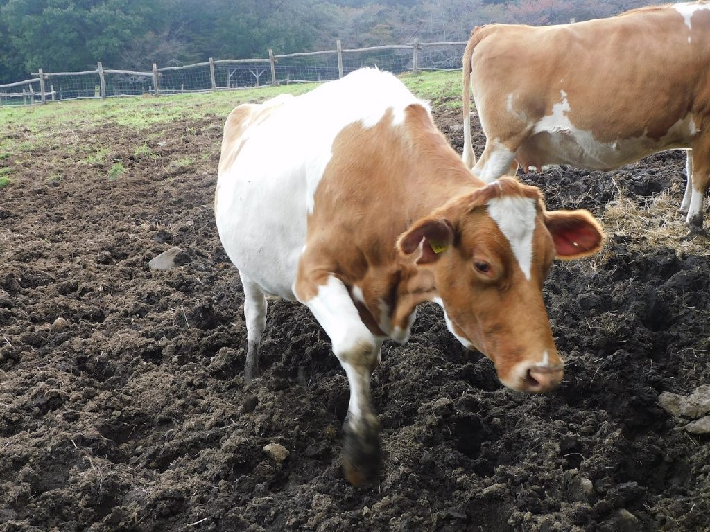
Satellite Data in Dairy Farming: Monitoring Grassland and Livestock Health
In addition to crop farming, dairy farming is also an integral part of the agricultural landscape in the Kanto region. Satellite data is helping dairy farmers optimize grassland management and livestock health monitoring. Grassland quality is essential for producing high-quality feed for dairy cows, and satellite data can assist in monitoring pasture health and growth.
Farmers can use satellite imagery to track the condition of grasslands, monitoring factors such as biomass, chlorophyll content, and overall pasture vigor. This information allows them to make decisions about grazing patterns, fertilization, and irrigation to ensure that their pastures are producing enough high-quality feed for their livestock. By optimizing pasture management, farmers can reduce costs associated with supplemental feed and improve the overall health of their dairy herds.
Furthermore, satellite data can also be used to monitor the health of livestock by detecting signs of stress or illness. For example, farmers can use temperature and movement data to identify cows that may be sick or experiencing heat stress, allowing them to intervene early and prevent the spread of disease or reduce the impact of environmental stressors.
Monitoring Greenhouse Gas Emissions in Dairy Farming
Dairy farming, particularly in areas where large-scale operations are common, is associated with methane emissions, which contribute to climate change. Satellite data can help farmers monitor and reduce methane emissions from dairy operations by providing insights into waste management practices, manure storage, and feed quality.
By utilizing satellite data, farmers can track environmental conditions and their relationship to methane production. This data can be used to optimize manure management, such as adjusting the timing and method of manure application or changing feed practices to reduce methane emissions. Satellite-based monitoring systems are helping dairy farmers in the Kanto region take steps to lower their carbon footprint while maintaining efficient and productive operations.
Climate Change Resilience for Crop and Dairy Farming
As climate change increasingly impacts agricultural activities, satellite data offers a tool to help farmers in the Kanto region adapt to shifting weather patterns and more extreme climate events. By tracking changes in temperature, precipitation, and soil moisture, farmers can anticipate potential disruptions to their crops and livestock and take action to mitigate risks.
For example, satellite data can help farmers predict periods of drought or extreme rainfall, enabling them to adjust planting schedules, irrigation systems, or even livestock management practices. By improving their ability to respond to climate-related changes, farmers can protect both crop and dairy production, ensuring a stable food supply for the region.
Conclusion
Satellite data is revolutionizing agriculture in the Kanto region by providing farmers with the tools they need to manage their crops and livestock more efficiently and sustainably. From precision irrigation and fertilization to monitoring pasture health and mitigating greenhouse gas emissions, satellite technology is enabling farmers to optimize their practices, increase productivity, and reduce their environmental footprint. As the Kanto region faces the challenges of climate change and increasing demand for agricultural production, satellite data will continue to play a vital role in shaping the future of farming in the region.