The Chubu region of Japan, located in the central part of Honshu, is known for its diverse geography, ranging from coastal plains to mountainous terrains. This diversity allows for a wide variety of agricultural products, including rice, tea, fruit, and high-value crops such as wasabi. However, challenges such as climate variability, labor shortages, and sustainability concerns make it essential to adopt modern technological solutions. Satellite data is emerging as a powerful tool for improving agricultural efficiency and optimizing the production of Chubu’s regional specialties.
Optimizing Rice Cultivation in Niigata and Shizuoka
Niigata Prefecture is famous for producing some of the highest-quality rice in Japan, including Koshihikari. Shizuoka, while more known for tea, also has significant rice production. Satellite data can help farmers monitor rice fields by assessing soil moisture levels, identifying areas prone to flooding, and optimizing irrigation schedules.
Using Normalized Difference Vegetation Index (NDVI) data from satellites, farmers can track the growth stages of rice crops, detect pest infestations early, and predict yield more accurately. This allows for more efficient use of fertilizers and pesticides, leading to increased productivity and environmental sustainability.
Enhancing Tea Production in Shizuoka with Satellite Data
Shizuoka Prefecture accounts for about 40% of Japan’s total tea production. The quality of tea leaves is highly dependent on climate conditions such as temperature, humidity, and sunlight. Satellite data can provide real-time information on microclimate variations, helping farmers adjust shading techniques and irrigation practices to maintain optimal growth conditions.
Thermal imaging from satellites can also help detect water stress in tea plants, allowing for precise water management strategies that ensure high-quality yields while conserving water resources.
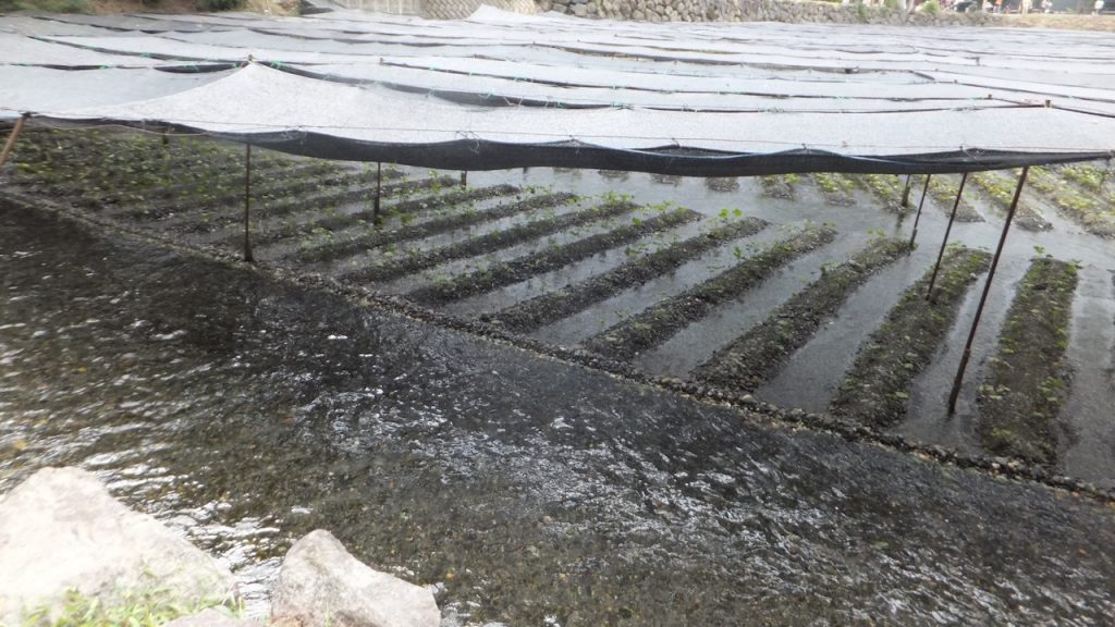
Improving Wasabi Cultivation in Nagano
Nagano Prefecture is renowned for its production of wasabi, a plant that requires pristine, cold, and clean flowing water to thrive. Climate change and water quality concerns pose challenges to wasabi farming. Satellite remote sensing can be used to monitor water sources, detect changes in river flow, and assess potential contamination risks.
Satellite imagery can also help predict the impact of seasonal temperature variations on wasabi growth, allowing farmers to take preventive measures to protect their crops from extreme weather conditions.
Boosting Fruit Production in Yamanashi and Aichi
Yamanashi is Japan’s leading producer of grapes and peaches, while Aichi is known for its strawberries. Precision agriculture techniques using satellite data can assist fruit farmers in several ways, such as:
- Monitoring plant health through multispectral imaging
- Predicting the best harvest time based on temperature and growth patterns
- Detecting early signs of diseases and pest infestations
By integrating satellite data with automated irrigation systems, farmers can ensure that their crops receive the optimal amount of water, reducing waste and increasing fruit quality.
Supporting Vegetable Farming in Gifu and Ishikawa
Gifu and Ishikawa prefectures are known for their highland vegetable production, including lettuce, cabbage, and daikon radish. Given the topographical challenges of these areas, satellite data can provide valuable insights into soil conditions, temperature fluctuations, and precipitation levels.
Farmers can use this information to plan planting schedules, reduce soil erosion, and implement targeted fertilization strategies, improving overall crop yield and quality.
Addressing Climate Change and Sustainability
The Chubu region, with its diverse agricultural landscape, faces increasing challenges due to climate change. Rising temperatures, unpredictable rainfall, and extreme weather events can disrupt farming activities. Satellite data enables farmers to:
- Predict and prepare for weather anomalies
- Optimize resource usage to reduce environmental impact
- Implement data-driven strategies for sustainable agriculture
By leveraging satellite technology, farmers in Chubu can adapt to changing climate conditions while ensuring the continued success of their regional specialties.
Conclusion
The use of satellite data in Chubu’s agriculture offers a promising future for optimizing rice, tea, fruit, wasabi, and vegetable farming. By integrating satellite-based monitoring systems, farmers can improve productivity, enhance sustainability, and maintain the high quality of their regional specialties. As satellite technology continues to advance, its role in precision agriculture will become even more essential, ensuring that Chubu remains a key agricultural hub in Japan.