Shikoku, the smallest of Japan’s four main islands, is known for its diverse agricultural products, including citrus fruits, olives, and premium wagyu beef. The region’s mountainous terrain and coastal climate create both opportunities and challenges for farmers. By utilizing satellite data, agricultural producers in Shikoku can optimize cultivation practices, improve efficiency, and enhance climate resilience.
This article explores how remote sensing and satellite technology are transforming specialty agriculture across Shikoku.
Supporting Ehime’s Citrus Production with Remote Sensing
Ehime Prefecture is Japan’s leading producer of citrus fruits, particularly mikan (mandarin oranges) and iyokan. The region’s mild coastal climate is ideal for citrus farming, but fluctuating weather patterns and soil conditions can impact fruit quality.
Satellite-based monitoring allows farmers to track soil moisture levels, detect early signs of disease, and optimize irrigation. NDVI (Normalized Difference Vegetation Index) analysis helps identify areas of stress in citrus groves, enabling targeted interventions to maintain high yields.
By integrating satellite imagery with precision agriculture techniques, Ehime’s citrus industry can enhance sustainability while preserving its reputation for high-quality fruit.
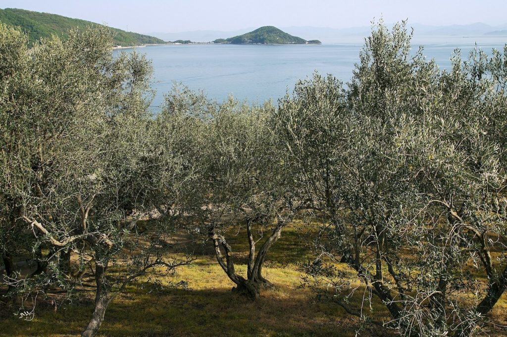
Optimizing Kagawa’s Olive Farming with Satellite Data
Kagawa Prefecture is famous for its olive production, particularly in Shodoshima, where Japan’s first olive trees were planted. Olives require well-drained soil, ample sunlight, and careful water management to produce high-quality oil.
Remote sensing technology aids olive farmers by monitoring soil conditions, identifying pest infestations, and predicting optimal harvest times. Thermal imaging from satellites can detect water stress in olive groves, helping farmers adjust irrigation schedules to prevent yield losses.
Additionally, multispectral satellite data can be used to assess the oil content of olives before harvest, ensuring that the fruit is picked at peak quality.
Enhancing Tokushima’s Sudachi Cultivation with Precision Agriculture
Tokushima is known for producing sudachi, a small, aromatic citrus fruit widely used in Japanese cuisine. Sudachi thrives in Tokushima’s mountainous terrain, but sudden temperature changes and typhoons can affect production.
Satellite-based weather forecasting provides early warnings for extreme weather, allowing farmers to implement protective measures such as windbreaks and soil reinforcement. By using satellite data to monitor canopy health and soil conditions, farmers can optimize fertilization and reduce chemical inputs, leading to more sustainable farming practices.
Improving Kochi’s Yuzu and Ginger Production with Remote Sensing
Kochi Prefecture is a leading producer of yuzu and ginger, both of which require specific climate conditions for optimal growth. High humidity and frequent rainfall in the region make disease prevention a key challenge.
Satellite imagery can assist farmers in detecting disease outbreaks early by analyzing vegetation indices and temperature fluctuations. Remote sensing data also supports efficient land-use planning, ensuring that crops are grown in the most suitable locations to maximize yield and quality.
For ginger production, satellite monitoring of soil temperature helps determine the best planting and harvesting times, leading to improved consistency and marketability.
Managing Pastures for Shikoku Wagyu Production
Shikoku is home to high-quality wagyu breeds such as Awa Beef from Tokushima and Tosa Beef from Kochi. Maintaining lush, nutrient-rich pastures is essential for producing premium-grade beef.
Satellite data enables ranchers to assess pasture health, track seasonal vegetation changes, and plan rotational grazing strategies. By monitoring drought conditions and soil fertility levels from space, cattle farmers can ensure optimal grazing conditions while reducing reliance on supplemental feed.
Addressing Climate Challenges with Satellite Technology
Shikoku’s agriculture is highly vulnerable to climate change, including typhoons, heavy rainfall, and seasonal droughts. Satellite-based climate monitoring helps farmers adapt by providing real-time weather analysis and long-term climate projections.
With satellite-driven insights, farmers can make informed decisions about crop selection, irrigation, and soil conservation, reducing the risks associated with extreme weather.
Conclusion
From Ehime’s renowned citrus fruits to Kagawa’s olives and Tokushima’s prized sudachi, Shikoku’s specialty agriculture benefits significantly from satellite technology. By leveraging remote sensing for precision farming, farmers can enhance productivity, improve sustainability, and better withstand climate challenges.
As Japan’s agricultural sector continues to evolve, integrating satellite data into traditional farming practices will be key to maintaining high-quality production and ensuring the resilience of Shikoku’s unique crops.