While the South Island, particularly Canterbury, is known for its large-scale wheat production, the North Island of New Zealand also plays an important role in the country’s agricultural landscape. With a more diverse climate and topography, the North Island has specific advantages and challenges in wheat farming. Satellite data has emerged as a powerful tool for North Island wheat farmers, helping them address issues such as weather variability, water management, and soil health, while improving productivity and sustainability. This article explores the role of the North Island in wheat production and how satellite technology is being utilized to optimize farming practices.
Wheat Farming on the North Island: An Overview
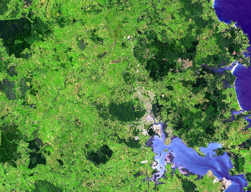
The North Island’s climate varies significantly from north to south, with subtropical conditions in the northern regions and temperate climates in the south. This diversity allows for a wide range of agricultural activities, including wheat farming. While wheat production on the North Island is not as extensive as on the South Island, particularly in Canterbury, regions like the Waikato, Bay of Plenty, and Wairarapa are becoming increasingly important for wheat cultivation.
Key Features of Wheat Farming on the North Island:
- Climate: The North Island’s diverse climate provides an opportunity for wheat to be grown in areas where conditions are more favorable for cropping. However, the warmer northern areas experience more frequent rainfall, which can affect wheat harvesting timing and crop health.
- Water Management: While rainfall is more abundant in the North Island, water management remains a critical concern, especially for irrigation during dry spells in certain regions.
- Land Use: The North Island’s land use varies from hill country to flat plains, with areas more suitable for intensive crop production and others better suited for pastoral farming. Wheat farming tends to be located in flatter regions, where mechanization and large-scale farming are more feasible.
Given these factors, North Island wheat farmers are increasingly looking to satellite data to make more informed decisions regarding crop management and ensure high yields.
Satellite Data for Climate and Weather Monitoring
Weather conditions are one of the most significant factors influencing wheat production on the North Island. While the region benefits from relatively consistent rainfall, there can be occasional weather extremes, such as heavy rainfall during harvest or drought conditions during the growing season.
Applications of Satellite Data for Weather and Climate:
- Real-Time Weather Monitoring: Satellite-based weather systems offer real-time data on temperature, humidity, and precipitation patterns, helping farmers anticipate changes in weather that may affect their crops.
- Flood and Drought Risk Prediction: Satellites equipped with sensors that track weather patterns can help predict potential flooding or drought conditions in key wheat-growing regions on the North Island. This information allows farmers to plan irrigation and harvesting schedules, ensuring the crops are not exposed to stress during critical growth stages.
- Frost and Heat Stress Prediction: The North Island is subject to frost events in winter and occasional heatwaves during the summer months. By using satellite data to track temperature anomalies, farmers can be prepared for these events and take preventative actions to protect their crops.
By leveraging satellite-based weather forecasting, North Island wheat farmers can mitigate risks associated with unpredictable weather patterns and safeguard their crops from extreme conditions.
Optimizing Water Use with Satellite Data
Water management is a critical aspect of wheat farming on the North Island, particularly in regions like the Waikato and Wairarapa, where irrigation is used to ensure adequate moisture levels during dry periods. While rainfall is typically more consistent in the North Island, water usage still needs to be optimized for maximum crop growth.
Key Satellite Data Applications for Water Management:
- Soil Moisture Monitoring: Satellites can measure soil moisture levels across large areas, providing farmers with insights into how much water is available for their crops. This helps farmers make decisions about when to irrigate and how much water to apply.
- Optimizing Irrigation: By using satellite data, farmers can implement precision irrigation practices, ensuring that each area of the wheat field receives the appropriate amount of water. This not only conserves water but also reduces the risk of over-irrigation or under-irrigation.
- Water Stress Detection: Using satellite-based vegetation indices, such as NDVI, farmers can identify areas of the field experiencing water stress. This early detection allows farmers to take immediate action, such as applying water or adjusting irrigation schedules, before the crop is adversely affected.
Precision irrigation supported by satellite data helps North Island wheat farmers optimize water use, conserve resources, and improve crop health during periods of water scarcity.
Crop Health Monitoring with Satellite Technology
Monitoring the health of wheat crops is vital for ensuring high yields and maintaining crop quality. Satellite imagery allows North Island wheat farmers to continuously track the health of their crops and detect issues such as nutrient deficiencies, pest infestations, and diseases early.
Key Applications for Crop Health Monitoring:
- Vegetation Indices for Crop Health: Satellite imagery provides data on vegetation indices, such as NDVI, which help assess the health of wheat crops. By monitoring NDVI over time, farmers can detect stress related to water, soil, or disease issues.
- Pest and Disease Detection: Wheat crops on the North Island can be affected by pests such as aphids or diseases like wheat rust. Satellite imagery helps identify these issues early, allowing farmers to take corrective actions, such as applying pesticides or fungicides.
- Nutrient Deficiency Detection: Satellite data can reveal subtle changes in the crop’s appearance that may indicate nutrient deficiencies. Early identification allows for more efficient fertilizer application, improving crop growth and yield.
By using satellite technology for crop health monitoring, North Island wheat farmers can proactively manage their crops and address issues before they result in significant yield losses.
Predicting Wheat Yields and Market Planning
Accurate yield forecasting is essential for North Island wheat farmers, as it helps with harvest planning, resource management, and market strategies. Satellite data enables farmers to monitor their crops throughout the growing season and make more accurate predictions about potential yields.
Satellite Data for Yield Prediction:
- Biomass Monitoring: Satellite data allows farmers to track crop biomass accumulation throughout the growing season. By assessing biomass levels, farmers can predict the potential yield more accurately, helping them plan for harvest and manage storage or market contracts.
- Growth Stage Monitoring: Satellites can track the growth stages of wheat crops, from germination to maturity. By monitoring these stages, farmers can forecast the timing of the harvest and coordinate logistics with buyers.
- Field-Level Yield Estimation: Using satellite data, farmers can estimate the yield potential at the field level. This allows for more accurate yield forecasting, helping farmers to meet market demand and plan for future production.
Yield forecasting using satellite data gives North Island wheat farmers the tools to plan more effectively, reduce waste, and better align their production with market needs.
Conclusion
Wheat farming on the North Island of New Zealand is evolving, with satellite data playing a pivotal role in improving productivity and addressing challenges such as weather variability, water management, and crop health. By utilizing satellite technology, North Island farmers can monitor soil moisture, track weather patterns, detect crop stress, and optimize irrigation practices, all of which contribute to improved yields and resource efficiency.
As climate variability continues to impact agriculture in New Zealand, satellite data will become even more essential for ensuring the long-term sustainability and success of wheat farming on the North Island. By adopting satellite technologies for weather forecasting, irrigation management, crop health monitoring, and yield estimation, North Island wheat farmers can enhance their decision-making and contribute to the region’s agricultural growth.