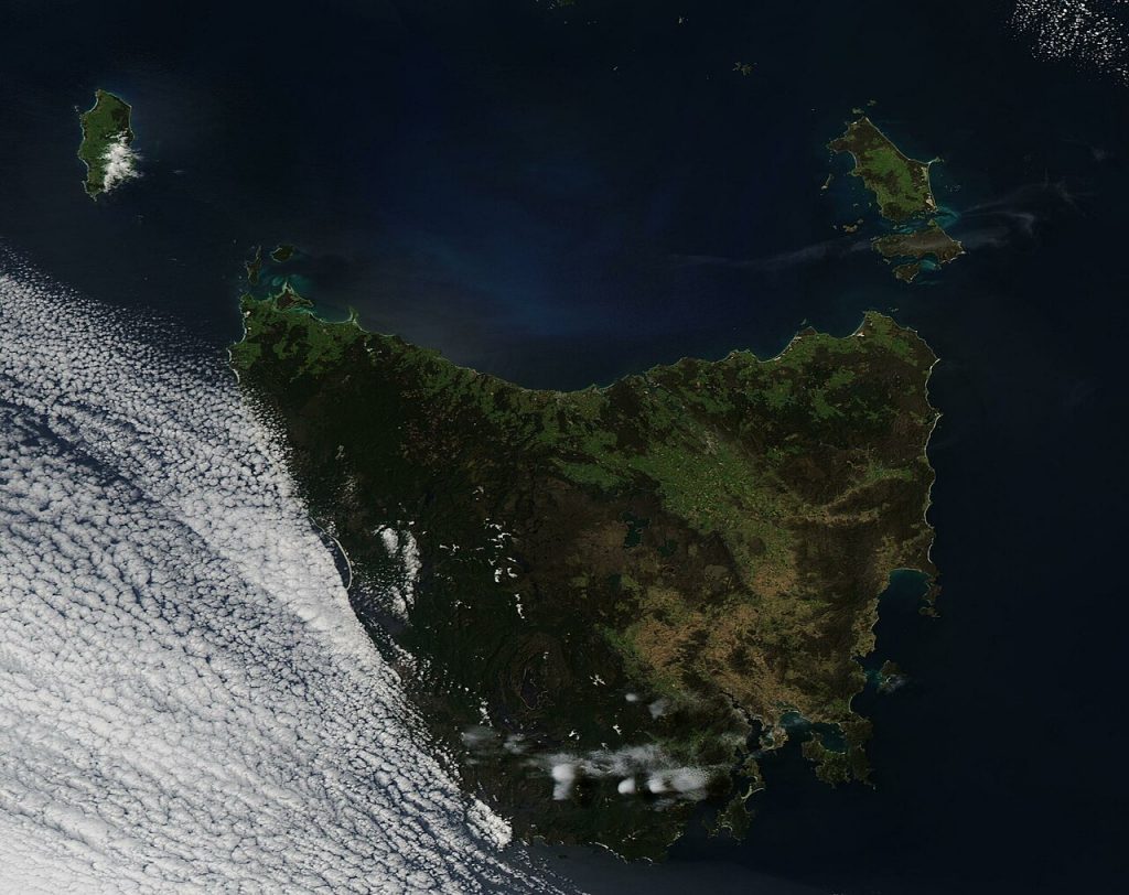
Tasmania, Australia’s southernmost state, has a unique agricultural landscape characterized by its cool climate, rich soils, and relatively small-scale farming operations. While Tasmania is not as prominent in wheat production as some other Australian states, the potential for growth in the wheat industry is significant. As farmers increasingly adopt precision agriculture, satellite data can play a crucial role in optimizing crop yields, improving resource management, and enhancing overall farming efficiency. Specifically, in Tasmania’s 9-hectare wheat fields, satellite data can provide localized insights that will shape the future of wheat farming in the state.
This article explores how satellite data will impact wheat production in Tasmania, with a particular focus on smaller fields around 9 hectares, and compares these changes with wheat farming practices in other Australian states.
Satellite Data in Precision Agriculture for Wheat Farming
Precision agriculture is an approach that uses advanced technologies, including satellite data, to monitor and manage farm operations with high precision. For wheat production, satellite imagery can provide valuable insights into crop health, soil conditions, irrigation needs, and nutrient management. In Tasmania, where wheat farming is generally practiced on a smaller scale compared to larger, broad-acre operations in states like Western Australia, the potential for satellite data to revolutionize wheat production is substantial.
In Tasmania, wheat is often grown in regions such as the Midlands, the Tamar Valley, and parts of the North-West Coast, where the climate and soil conditions are favorable. However, Tasmania’s cool and sometimes unpredictable weather patterns, along with the relatively small size of many wheat fields, present both challenges and opportunities. Satellite data can help farmers overcome these challenges by providing timely, localized information that allows for more efficient management of resources, improved yields, and reduced environmental impact.
Benefits of Satellite Data for 9-Hectare Wheat Fields in Tasmania
1. Optimized Water Management
Water management is a critical concern for wheat farmers across Australia, and Tasmania is no exception. While Tasmania generally receives more rainfall than many other states, water usage still needs to be managed carefully, especially during dry spells or in regions with less reliable rainfall. For smaller wheat fields around 9 hectares, satellite data can provide real-time insights into soil moisture levels and crop water requirements.
Satellite images can detect variations in soil moisture across the field, allowing farmers to implement targeted irrigation practices. This data-driven approach reduces water waste, ensures that crops receive the right amount of water at the right time, and helps farmers manage their resources more effectively. Compared to larger-scale operations in states like New South Wales or Queensland, where irrigation can be more generalized, Tasmania’s small-scale wheat farms can benefit from satellite data’s ability to offer precise, localized information.
2. Increased Efficiency in Fertilizer and Pesticide Use
The efficient use of fertilizers and pesticides is essential for maintaining crop health and reducing costs. Tasmania’s smaller fields, particularly those around 9 hectares, often exhibit variations in soil fertility, making it difficult to manage inputs uniformly. Satellite data can help farmers assess soil nutrient levels, identify areas that require more nutrients, and apply fertilizers precisely where they are needed.
Similarly, satellite data can aid in monitoring crop health, detecting early signs of pest infestations or diseases. This allows for more targeted application of pesticides, reducing the environmental impact and ensuring that only the affected areas are treated. Compared to larger-scale farms in other states, Tasmania’s smaller wheat fields benefit from this high level of precision, which improves overall efficiency and reduces input costs.
3. Improved Crop Health Monitoring
Wheat crops in Tasmania can be susceptible to a variety of challenges, including pests, diseases, and nutrient deficiencies. Satellite imagery allows farmers to monitor crop health in real-time, providing insights into plant stress, disease hotspots, and areas that may require additional attention. In Tasmania’s smaller, diverse fields, where crop conditions can vary widely, this level of detail is invaluable for making timely, informed decisions.
Farmers can track crop growth stages and identify areas of the field that may be underperforming. With this data, they can adjust their farming practices—whether it’s changing irrigation schedules, applying fertilizers, or managing pests—ensuring that their wheat crops thrive throughout the growing season.
4. Enhanced Yield Predictions and Harvest Planning
Accurate yield prediction is a challenge for wheat farmers, especially in Tasmania, where weather patterns can be unpredictable. Satellite data offers the ability to track crop growth and development throughout the season, providing reliable forecasts of expected yields. For small fields, such as those around 9 hectares, yield predictions are particularly important for efficient harvest planning, labor allocation, and logistical coordination.
By using satellite data to estimate yields more accurately, Tasmanian farmers can avoid over- or underestimating their harvest, ensuring that they are well-prepared for the post-harvest phase. The ability to forecast yields with greater precision also helps farmers manage storage capacities, labor requirements, and transportation more effectively.
Comparing Tasmania’s Wheat Production with Other Australian States
Wheat production in Tasmania differs significantly from that in other Australian states, particularly those with large-scale, broad-acre wheat farming operations, such as Western Australia and New South Wales. While Tasmania’s wheat industry is smaller in scale, the introduction of satellite data has the potential to level the playing field and enhance productivity in the state’s smaller, more localized fields.
Western Australia (WA): Large-Scale Operations vs. Small-Scale Fields in Tasmania
Western Australia is home to some of the largest wheat farms in the country, with fields often covering thousands of hectares. In WA, satellite data is used primarily for broad-acre applications, helping farmers optimize seeding, fertilization, and irrigation across large areas. The relatively flat terrain and consistent climate in WA make satellite data particularly useful for managing large-scale operations.
In contrast, Tasmania’s smaller fields, particularly those around 9 hectares, require a more focused, localized approach. Satellite data can provide more granular insights, allowing Tasmanian farmers to optimize their resources on a smaller scale. While WA farmers benefit from the ability to manage vast stretches of land with precision, Tasmania’s small-scale farms are better equipped to use satellite data to address specific challenges in each field.
New South Wales (NSW): Larger Fields and Climate Challenges
In New South Wales, wheat farming is more extensive, with larger fields and a more varied climate, including both dry and wet regions. Satellite data in NSW is used to monitor large areas for moisture levels, pest control, and yield prediction. However, the scale of farming operations means that data management and interpretation may be more complex, as farmers need to manage a wide range of conditions across vast areas.
Tasmania’s smaller fields offer an opportunity for more focused satellite-based interventions. By providing detailed, localized data, satellite technology helps Tasmanian farmers manage the unique challenges posed by their cooler climate and smaller field sizes. This focus on precision allows Tasmanian wheat producers to differentiate themselves from larger operations in NSW and benefit from more efficient farming practices.
Victoria: Similarities and Differences in Small-Scale Wheat Farming
Victoria shares some similarities with Tasmania in terms of small-scale wheat farming, especially in regions like the Mallee. Both states benefit from relatively fertile soils and cool climates, but Victoria has a larger wheat industry overall. Satellite data in Victoria is already being used to enhance productivity and precision in wheat farming. However, Tasmania’s more localized farming operations create an opportunity for greater customization and finer details in satellite data analysis. This allows Tasmanian farmers to tailor their practices even more specifically to their unique field conditions, setting them apart from their Victorian counterparts in certain ways.
Conclusion: The Future of Wheat Production in Tasmania
Satellite data will undoubtedly change the landscape of wheat production in Tasmania, especially for small fields around 9 hectares. With the ability to optimize water use, improve pest and disease management, enhance crop health monitoring, and provide more accurate yield predictions, Tasmanian wheat farmers will be better equipped to face the challenges of modern agriculture.
While Tasmania’s wheat industry may be smaller compared to states like Western Australia or New South Wales, the adoption of satellite data will allow Tasmanian farmers to compete on a more level playing field. By leveraging precise, localized data, Tasmania’s wheat producers will be able to maximize yields, reduce input costs, and improve sustainability, securing the future of wheat farming in the state.