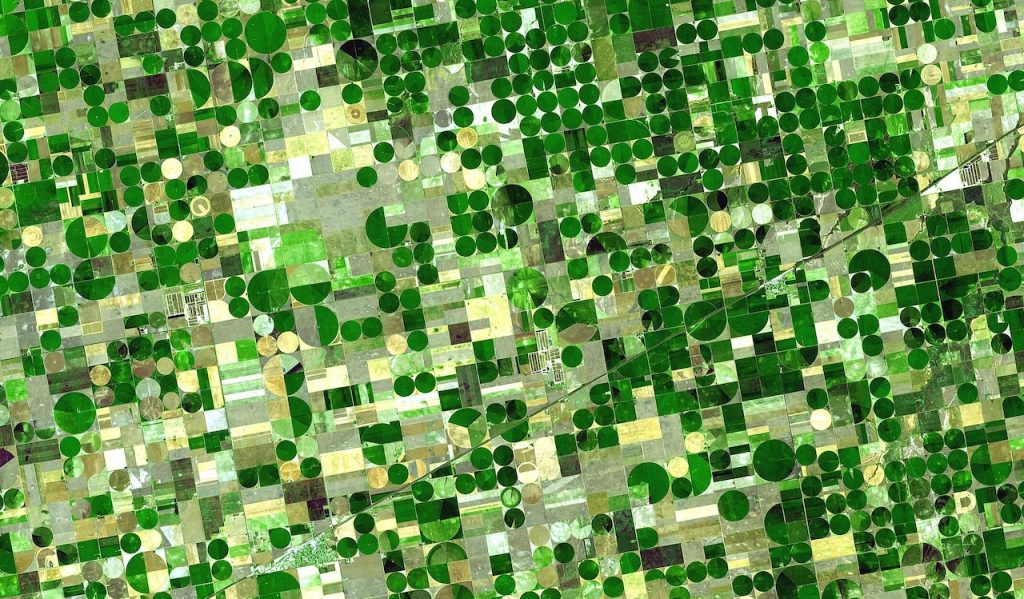
The United States ranks among the world’s largest wheat producers, with wheat serving as a cornerstone of its agricultural economy. The nation cultivates several distinct wheat varieties, each adapted to specific climates and applications. These wheat types differ in traits such as protein content, gluten strength, and kernel hardness. This article delves into the primary wheat varieties grown in the U.S., their typical yields, and the regions where they are most commonly produced.
1. Hard Red Winter (HRW)
Characteristics
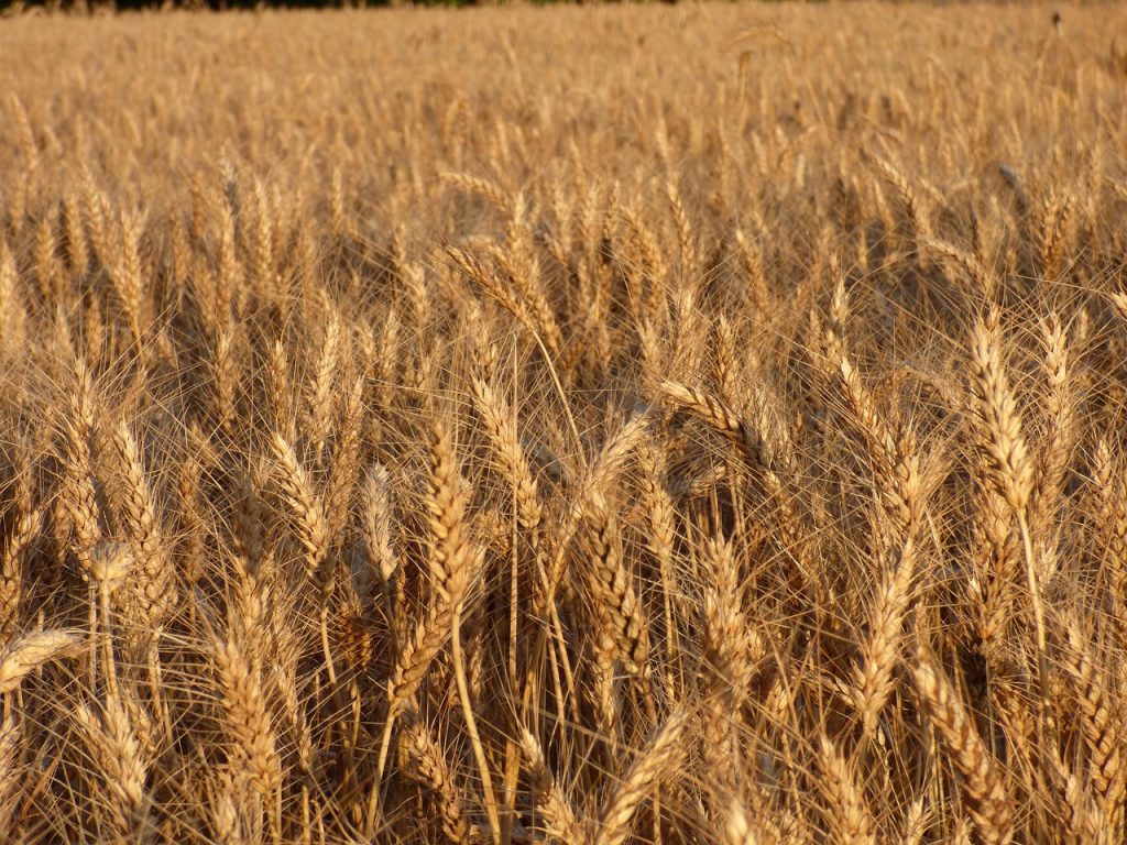
Hard Red Winter (HRW) is the most commonly cultivated variety of wheat in the United States. Renowned for its high protein levels and robust gluten, it is perfect for baking bread. The grains of HRW are firm and reddish-brown in color. This wheat variety is especially appreciated for its excellent milling characteristics, yielding flour with strong baking performance.
HRW is typically planted in the fall and harvested in late spring or early summer, thriving in regions with cold winters and mild to warm summers.
Yields
The yield of Hard Red Winter Wheat in the U.S. typically ranges from 30 to 50 bushels per acre, although it can vary significantly based on weather conditions and farming practices. Regions experiencing drought or unusual weather patterns can see reduced yields.
Primary Growing Regions
HRW wheat is primarily grown in the Great Plains, particularly in Kansas, Oklahoma, and Texas. These states provide the necessary cold winters for successful wheat dormancy and mild growing seasons. The HRW wheat belt also extends into Nebraska, Colorado, and Wyoming.
2. Hard Red Spring (HRS)
Characteristics
Hard Red Spring (HRS) is another widely grown variety in the United States, valued for its elevated protein levels and strong gluten, which make it ideal for bread and other baked goods. Its kernels are hard, red, and protein-rich. With a slightly higher protein content than HRW, HRS is often the top choice for producing premium bread flour.
HRS is typically planted in the spring and harvested in late summer, making it a key wheat type for northern regions with cooler climates.
Yields
The yield of Hard Red Spring Wheat is generally around 30 to 50 bushels per acre. Like HRW, yields can be influenced by environmental factors, with regions that experience drought conditions seeing reduced output.
Primary Growing Regions
HRS wheat is mainly grown in the northern plains, including North Dakota, South Dakota, and Minnesota. These regions offer the cool growing conditions ideal for HRS wheat production, as well as a longer growing season due to the cooler temperatures.
3. Soft Red Winter (SRW)
Characteristics
Soft Red Winter (SRW) is known for its lower protein content and softer kernel texture, making it ideal for creating cakes, pastries, crackers, and cookies. Compared to HRW, SRW has a softer consistency and a lighter color. It is commonly used to produce finer, lighter flour, perfect for soft and fluffy baked goods.
This variety is planted in the fall and harvested in early summer, flourishing in regions with mild winters and moderate rainfall.
Yields
Soft Red Winter Wheat yields typically range from 50 to 70 bushels per acre, with higher yields seen in regions with favorable growing conditions. The moderate climate in these areas allows for more consistent yields.
Primary Growing Regions
SRW is mainly grown in the Midwest and Eastern U.S., with major production areas in Illinois, Missouri, Indiana, and Ohio. These regions have the mild winters and abundant rainfall that make them ideal for SRW wheat production.
4. Soft White Wheat (SWW)
Characteristics
Soft White Wheat (SWW) resembles SRW wheat but features even softer kernels, making it ideal for pastries, cakes, and other delicate baked goods. Its low protein content contributes to creating tender and crumbly textures in finished products.
This type of wheat is sown in the fall and harvested in late spring or early summer, thriving in temperate climates.
Yields
Soft White Wheat typically yields between 60 and 80 bushels per acre, depending on factors such as location and weather conditions. Its high yield potential makes it a popular choice in specific growing regions.
Primary Growing Regions
SWW wheat is predominantly grown in the Pacific Northwest, especially in Washington, Oregon, and Idaho. These regions provide the cool, temperate climate ideal for soft wheat production.
5. Durum Wheat
Characteristics
Durum Wheat is the hardest variety of wheat, primarily cultivated for pasta production. It boasts a high protein content and a golden yellow hue, which is a defining characteristic of durum wheat flour. Its strong gluten structure ensures pasta maintains its shape and texture during cooking.
This wheat is planted in the spring and harvested in late summer or early fall, requiring a warm growing season for optimal development.
Yields
Durum Wheat typically yields around 20 to 30 bushels per acre, lower than other wheat types. Its yield depends heavily on precise growing conditions, including adequate irrigation and proper soil management.
Primary Growing Regions
Durum wheat is predominantly grown in the northern plains, with North Dakota leading production. Other states like Montana and Arizona also contribute, though the overall acreage is smaller compared to other wheat varieties.
Wheat Types in the United States
The United States grows a wide variety of wheat types, each with its own characteristics suited for different end uses, from bread-making to pasta production. Hard Red Winter Wheat, Hard Red Spring Wheat, Soft Red Winter Wheat, Soft White Wheat, and Durum Wheat all play crucial roles in the U.S. agricultural economy. The yield of these wheat types varies depending on the region, climate, and farming practices, but the U.S. remains a global leader in wheat production, with diverse growing conditions that support the cultivation of various wheat types across the country.


.jpg)