Western Australia (WA) is the largest wheat-producing state in Australia, playing a critical role in both the national and global wheat markets. The state’s vast agricultural regions, favorable climate, and efficient farming practices make it one of the world’s most significant wheat producers. In this article, we provide an overview of wheat production in Western Australia, highlighting key regions, climatic conditions, farming practices, challenges, and the state’s role in the global wheat industry.
Key Wheat Growing Regions in Western Australia
Western Australia’s wheat production is concentrated in several key regions, each offering different environmental conditions that are ideal for wheat farming. The main wheat-growing regions in the state include:
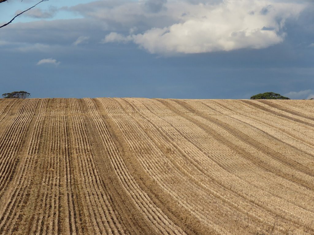
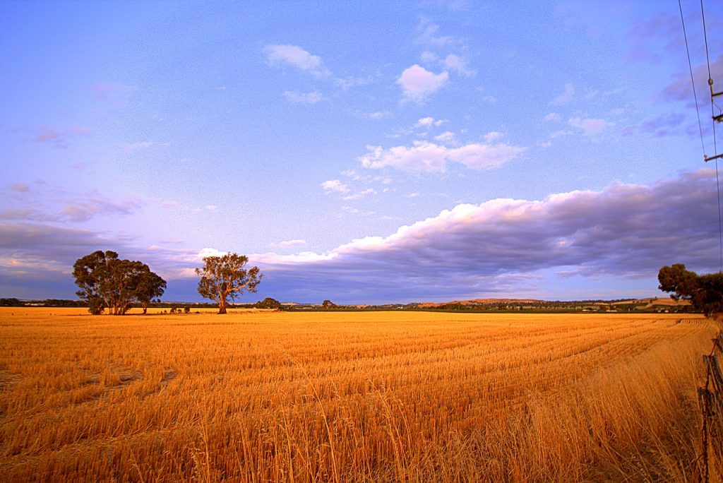
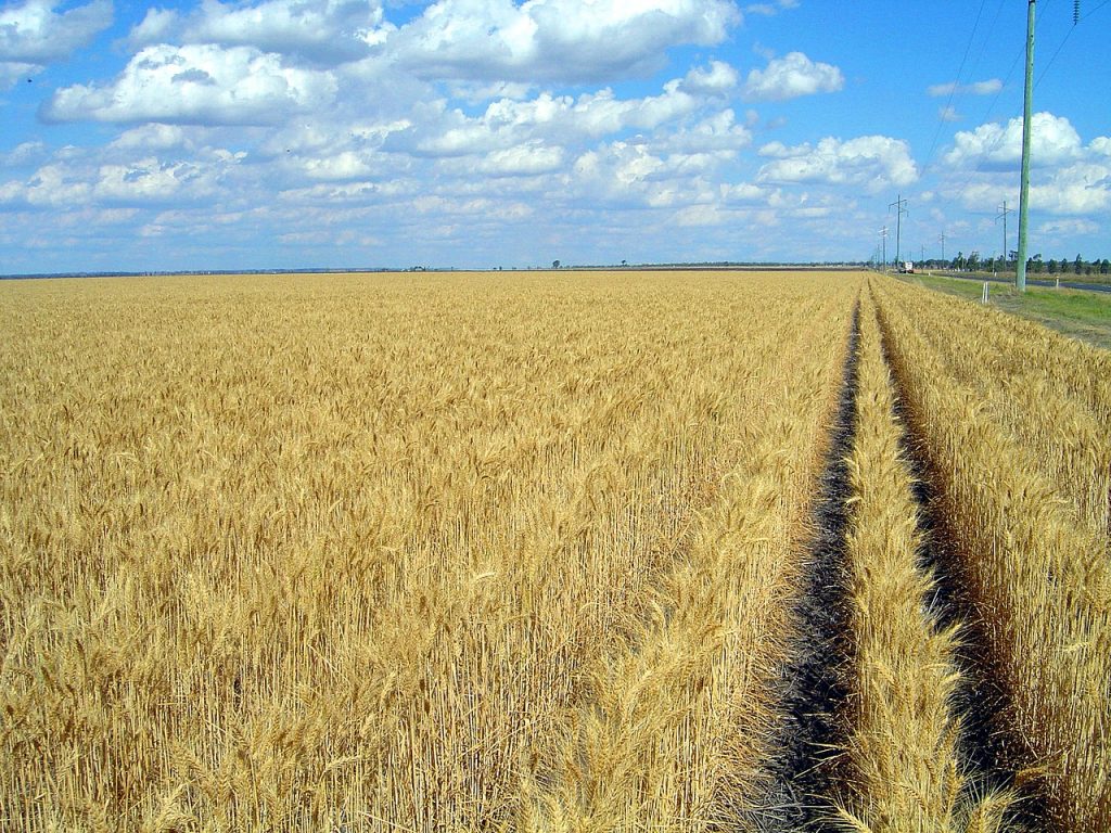
1. Wheatbelt
The Wheatbelt is the heart of Western Australia’s wheat production, covering a vast area of the state’s central and southern regions. The Wheatbelt is characterized by flat topography, low to moderate rainfall, and fertile soils, making it ideal for dryland farming of wheat. It is responsible for producing the bulk of the state’s wheat crop and is known for its efficient farming practices.
- Key Features:
- Large area with varied climatic conditions.
- Good-quality soils, including sandy loam and clay.
- Extensive use of crop rotation and conservation tillage.
2. Great Southern
The Great Southern region, located to the south of the Wheatbelt, is another key wheat-producing area in Western Australia. This region receives slightly higher rainfall compared to the Wheatbelt and is known for its fertile soils and well-managed farming systems. Wheat production in the Great Southern is often supplemented by irrigation, particularly in areas where rainfall is less reliable.
- Key Features:
- Higher rainfall compared to the Wheatbelt.
- Fertile soils suitable for wheat production.
- A mix of dryland and irrigated farming systems.
3. South Coastal
The South Coastal region, along the southern coastline of Western Australia, has a Mediterranean climate with mild, wet winters and hot, dry summers. This region benefits from moderate rainfall and is known for its strong agricultural output, including wheat. The proximity to major ports along the coast also facilitates the export of wheat to international markets.
- Key Features:
- Mediterranean climate with moderate rainfall.
- Ideal for wheat farming and other cereal crops.
- Close proximity to export ports for efficient trade.
Climate and Growing Conditions
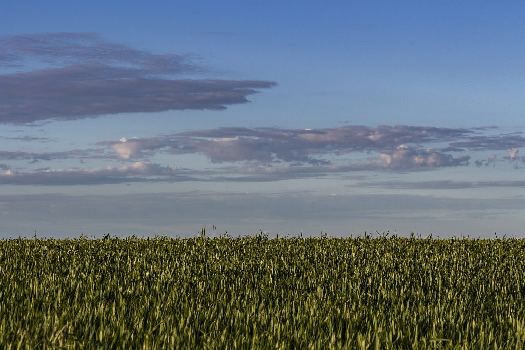
Western Australia’s wheat-growing regions experience diverse climatic conditions, but most areas are suited to the crop’s needs. Wheat grows best in regions with moderate rainfall, cool temperatures during the growing season, and long days for photosynthesis. Western Australia’s climate provides these conditions, making it an ideal environment for wheat cultivation.
1. Rainfall
Western Australia’s wheat-growing regions experience rainfall ranging from 250 mm to 600 mm annually, depending on the area. The Wheatbelt and Great Southern receive moderate rainfall, with rainfall decreasing as you move inland. While the state’s wheat-growing areas typically experience dry summers, rainfall in the winter months supports wheat growth. In regions with lower rainfall, irrigation may be used to ensure consistent crop production.
- Ideal Rainfall: Wheat grows best in areas with 350 mm to 600 mm of annual rainfall. Irrigation is used in some regions to supplement rainfall.
2. Temperature
Wheat grows well in cool temperatures, and Western Australia’s growing season provides this environment. The climate is characterized by warm summers and cooler winters, with the bulk of wheat growth occurring during the cooler months. The state’s wheat crops generally experience cool nights and mild days, promoting healthy growth and high-quality yields.
- Ideal Temperature Range: Wheat grows best at temperatures between 10°C and 25°C during the growing season. Western Australia’s climate provides these optimal conditions.
3. Soil Quality
The soil types in Western Australia’s wheat-growing regions are diverse, ranging from sandy loam to clay soils. These soils are generally well-drained, fertile, and suitable for wheat production. Soil management practices, such as conservation tillage, are employed to prevent soil erosion and improve moisture retention, ensuring sustainable farming practices.
- Soil Types: Well-drained sandy loam, clay, and loamy soils are common in the Wheatbelt and Great Southern regions.
Wheat Varieties and Farming Practices
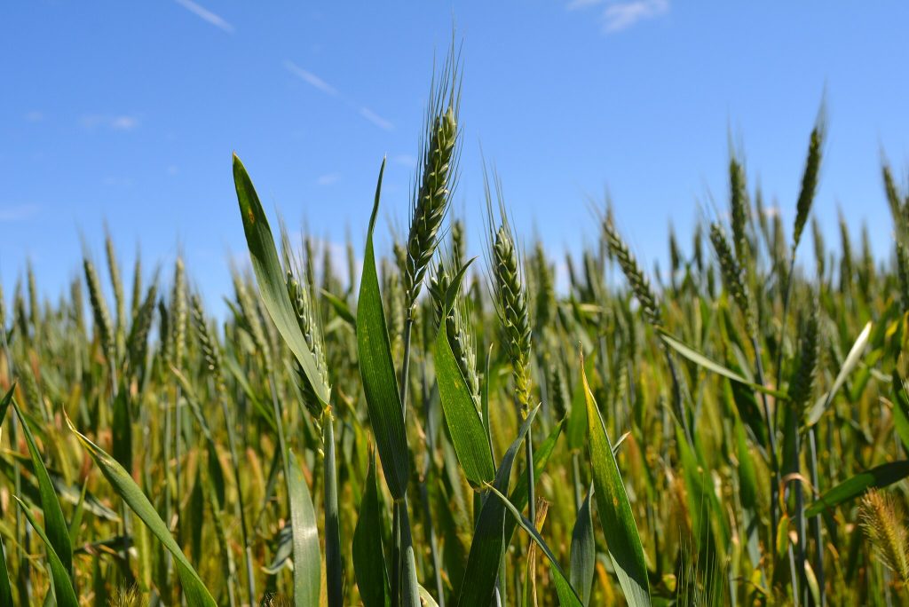
Western Australia grows a variety of wheat, tailored to both local and global markets. Wheat is grown primarily for milling purposes, with different varieties suited for bread-making, pasta production, and animal feed. The state’s farming practices focus on maximizing yields while maintaining environmental sustainability.
Wheat Varieties:
Western Australia’s wheat varieties are chosen based on their suitability for the region’s climatic conditions and their end-use applications. The two main types of wheat grown in the state are:
- Hard Wheat Varieties: Hard wheat is high in protein and gluten, making it ideal for bread production. Popular hard wheat varieties in Western Australia include Mace, Vixen, and Spear.
- Soft Wheat Varieties: Soft wheat is commonly used for making pastries, cakes, and biscuits. Some well-known soft wheat varieties grown in the state include Dorado and Kordia.
Farming Practices:
Farming practices in Western Australia focus on optimizing productivity while minimizing environmental impacts. Common practices across the wheat-growing regions include:
- Conservation Tillage: Farmers in Western Australia use minimal tillage or no-till systems to preserve soil structure, reduce erosion, and retain moisture. These practices are particularly important in the Wheatbelt, where drought conditions can be common.
- Crop Rotation: Crop rotation is widely practiced to improve soil health, reduce pest and disease pressures, and maintain high yields. Wheat is often rotated with other crops like barley, canola, and pulses.
- Irrigation: While most of Western Australia’s wheat production is dryland farming, irrigation is used in areas with lower rainfall, such as parts of the Great Southern and South Coastal regions.
- Precision Agriculture: Many farmers in Western Australia are adopting precision agriculture techniques, including GPS-guided machinery, soil sensors, and satellite imagery, to enhance crop management, optimize inputs, and improve efficiency.
Challenges for Wheat Production in Western Australia
Despite its status as a major wheat-producing region, Western Australia faces several challenges that can affect both short-term yields and long-term sustainability.
1. Climate Variability
Western Australia is prone to extreme climate events, including droughts, heatwaves, and erratic rainfall patterns. These factors can negatively impact wheat yields, particularly in the Wheatbelt and inland regions. Farmers must adapt to these unpredictable conditions by adopting resilient farming practices and using drought-tolerant wheat varieties.
2. Water Scarcity
While much of Western Australia relies on rainfall for wheat production, some regions face water scarcity, particularly in the Wheatbelt. In these areas, the use of irrigation systems may be required to maintain stable yields. However, water availability can fluctuate due to climate variability and regulatory changes.
3. Pests and Diseases
Wheat crops in Western Australia are vulnerable to a range of pests and diseases, including wheat rust, aphids, and fungal infections. Farmers use integrated pest management (IPM) strategies to control these issues, such as crop rotation, biological control, and targeted pesticide application.
4. Market Competition
Western Australia faces competition from other major wheat-producing regions, both domestically and internationally. While the state is one of the largest wheat producers in Australia, it must compete with other regions like New South Wales and Queensland, as well as international producers, particularly from Canada, Russia, and the United States.
The Future of Wheat Production in Western Australia
The future of wheat production in Western Australia looks promising, thanks to technological advancements, a focus on sustainability, and growing demand for high-quality wheat. The state’s strategic location, fertile soils, and sophisticated farming practices will continue to support wheat production, while addressing challenges such as climate variability and water management.
1. Sustainability Initiatives
Sustainability is becoming increasingly important in Western Australia’s wheat farming industry. Farmers are focusing on reducing their carbon footprint, using water more efficiently, and adopting conservation farming practices. Research into drought-resistant wheat varieties and improved soil management techniques will also help ensure long-term viability.
2. Technological Advancements
Precision agriculture, data analytics, and remote sensing are set to revolutionize wheat farming in Western Australia. Farmers are adopting new technologies to improve crop management, reduce costs, and enhance productivity. The use of satellite imagery and soil sensors will help farmers make more informed decisions about irrigation, fertilization, and pest control.
3. Premium Markets
Western Australia’s high-quality wheat is in demand globally, especially in markets that require premium products for milling. The state’s reputation for clean, green, and sustainable farming practices will continue to attract international buyers, particularly in Asia, the Middle East, and Africa.
4. Government Support
Government policies aimed at improving water management, promoting sustainable farming practices, and enhancing access to global markets will continue to support the wheat industry in Western Australia. Investments in infrastructure, research, and innovation will help the state’s farmers overcome challenges and thrive in the global wheat market.
Conclusion
Western Australia is a vital player in both the Australian and global wheat industries, thanks to its vast agricultural regions, favorable climate, and efficient farming practices. With its well-established Wheatbelt, Great Southern, and South Coastal regions, the state produces a significant portion of Australia’s wheat, contributing to both domestic consumption and export markets. While challenges such as climate variability, water scarcity, and pest management persist, Western Australia’s wheat industry is poised for a sustainable and profitable future, driven by innovation, sustainability, and a strong reputation for high-quality products.


.jpeg)
.jpg)