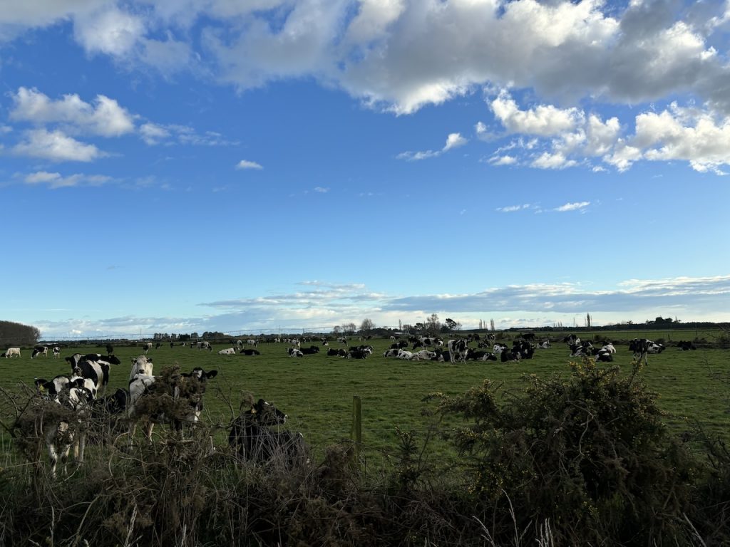
The South Island of New Zealand is renowned for its diverse agricultural production, ranging from livestock to crops like wheat. Although wheat farming on the South Island does not rival the scale of other staple crops such as dairy or fruit, it still plays a vital role in the agricultural landscape. In particular, regions like Canterbury and Marlborough are well-suited for wheat cultivation due to their fertile soils and favorable climate. However, like all agricultural areas, wheat production faces challenges that satellite data can help address, providing farmers with the tools to optimize crop management and improve yields. This article focuses on the role of satellite data in wheat production on the South Island, highlighting key benefits and applications.
The South Island’s Wheat Growing Conditions
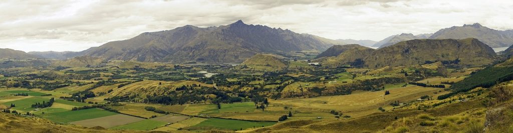
The South Island offers a variety of climates and soil types, which allows for wheat cultivation in several areas. The region generally experiences a temperate climate, with mild winters and warm, dry summers. The flat plains of Canterbury, which are part of New Zealand’s most significant wheat-growing regions, are particularly suitable for wheat farming, as they provide ample space for large-scale crop production. Other South Island areas like Marlborough and parts of Otago also support wheat farming, though the scale may be smaller.
Key Wheat Farming Features on the South Island:
- Soil Types: The South Island is known for its fertile, well-draining soils, particularly in the Canterbury Plains, which are ideal for wheat. However, soil fertility and moisture management must be carefully monitored to maintain high yields.
- Climate Variability: The South Island’s climate can vary significantly by region. While Canterbury experiences relatively mild conditions, areas like Marlborough and Otago may face more extreme weather conditions, such as colder temperatures or drier spells, which can impact wheat growth.
- Irrigation: Water availability is a key factor in wheat farming on the South Island. Regions like Canterbury rely heavily on irrigation, sourced from rivers and underground aquifers, to ensure crops receive sufficient water during dry spells.
Given these factors, satellite data plays an important role in supporting wheat farmers by providing them with insights that help optimize production practices.
Satellite Data for Water Management and Irrigation
Water management is crucial for successful wheat farming on the South Island, especially in dry periods. Areas like Canterbury rely on irrigation to maintain healthy crops during the summer, which can be quite dry. Satellite data allows farmers to manage water resources more efficiently, ensuring that their wheat crops receive the right amount of water at the right time.
Key Applications for Irrigation in the South Island:
- Soil Moisture Monitoring: Satellite imagery can provide real-time data on soil moisture levels across vast agricultural areas. This helps farmers determine where water is needed and avoid unnecessary irrigation in regions where the soil already has sufficient moisture.
- Optimizing Water Use: By using satellite data to monitor soil moisture, farmers can implement precision irrigation practices that ensure water is applied only where needed. This leads to better water conservation and more efficient irrigation systems.
- Drought Detection: Satellite sensors can detect early signs of drought stress in wheat crops by monitoring vegetation indices like NDVI (Normalized Difference Vegetation Index). This allows farmers to take early action, such as adjusting irrigation schedules or applying additional water, to avoid crop damage.
With these tools, South Island farmers can ensure that water resources are used efficiently, enhancing wheat crop health and reducing the overall environmental footprint of irrigation practices.
Monitoring Wheat Crop Health and Detecting Stress
One of the key benefits of satellite technology in agriculture is the ability to monitor crop health over large areas. For wheat farmers on the South Island, the ability to detect issues like pest infestations, diseases, or nutrient deficiencies early can prevent crop loss and help boost overall yield.
Applications for Monitoring Wheat Health:
- NDVI for Crop Health: Satellite images that measure NDVI provide an indication of the overall health of wheat crops. Low NDVI values may indicate stress due to a lack of water, nutrients, or the presence of pests or diseases. By regularly monitoring NDVI data, farmers can take timely action to address any issues affecting their crops.
- Early Disease and Pest Detection: Wheat crops are susceptible to diseases such as wheat rust and pests like aphids, which can significantly reduce yields. Satellite imagery can detect early signs of these issues by identifying changes in canopy color or crop density. Early intervention can limit the spread of pests and diseases, ensuring a healthier crop and higher yield.
- Nutrient Deficiency Detection: Satellite sensors can also identify areas within wheat fields that show signs of nutrient deficiencies. These areas often manifest in changes to the crop’s color or texture. By addressing these issues early, farmers can apply targeted fertilizer applications, improving nutrient uptake and crop growth.
Through the use of satellite data for crop health monitoring, South Island wheat farmers can ensure their crops remain healthy and productive, maximizing their yields.
Managing Soil Conditions and Erosion Risks
In regions like Canterbury, where wheat production is heavily concentrated, soil management is crucial for maintaining long-term agricultural productivity. Soil erosion, particularly wind erosion, can lead to loss of fertile topsoil and negatively impact crop yields. Satellite technology provides valuable insights into soil conditions and allows farmers to implement strategies to protect soil health.
Applications for Soil Management:
- Soil Moisture and Texture Mapping: Satellite-based systems can monitor soil moisture levels across large areas, helping farmers assess whether the soil is too dry or saturated. This can also provide information about soil texture, which can influence moisture retention and soil fertility.
- Erosion Monitoring: Satellite images can be used to track changes in soil composition or vegetation cover that might indicate erosion risks. For example, regions with exposed soil or reduced vegetation cover are more prone to wind erosion. With satellite data, farmers can identify these areas and take steps to protect them, such as planting cover crops or installing windbreaks.
- Soil Fertility Mapping: Over time, satellite data can also help farmers track changes in soil fertility. Monitoring crop health and yield trends using remote sensing can help farmers assess the impact of their soil management practices and adjust fertilization or crop rotation strategies accordingly.
By using satellite technology for soil health and erosion management, South Island farmers can protect their land, ensure long-term sustainability, and maintain high-quality wheat production.
Yield Forecasting and Harvest Planning
Accurate yield forecasting is essential for wheat farmers in the South Island, particularly in terms of managing supply chains, harvest logistics, and market demand. Satellite data can help farmers assess crop health and predict yields more accurately, ensuring better harvest planning.
Applications for Yield Forecasting:
- Growth Stage Monitoring: Satellites can track the growth stages of wheat crops, from germination to maturity. Monitoring these stages helps farmers predict when the crop will reach its peak yield and when it is likely to be ready for harvest.
- Biomass Estimation: Satellite imagery can be used to estimate crop biomass at various stages of growth. By tracking biomass accumulation, farmers can estimate yields with greater accuracy, allowing them to plan for harvests and resource allocation.
- Market Supply Planning: Accurate yield forecasts based on satellite data help farmers plan for storage, transportation, and marketing. By knowing how much wheat they are likely to produce, farmers can better manage their relationships with buyers and ensure a steady supply of wheat to the market.
With satellite-based yield forecasting, South Island wheat farmers can optimize harvest schedules, reduce waste, and improve profitability by ensuring that their crops are marketed efficiently.
Conclusion
Satellite data plays a crucial role in enhancing wheat production on the South Island of New Zealand. From managing irrigation and optimizing crop health to assessing soil conditions and forecasting yields, satellite technology provides farmers with the tools they need to make data-driven decisions and improve productivity.
As challenges such as climate change and resource management continue to impact agriculture worldwide, satellite technology offers a solution that can help South Island wheat farmers maintain sustainable practices and increase efficiency. By embracing satellite data and remote sensing, South Island wheat farming can evolve into a more resilient, data-driven industry that contributes to New Zealand’s agricultural success.