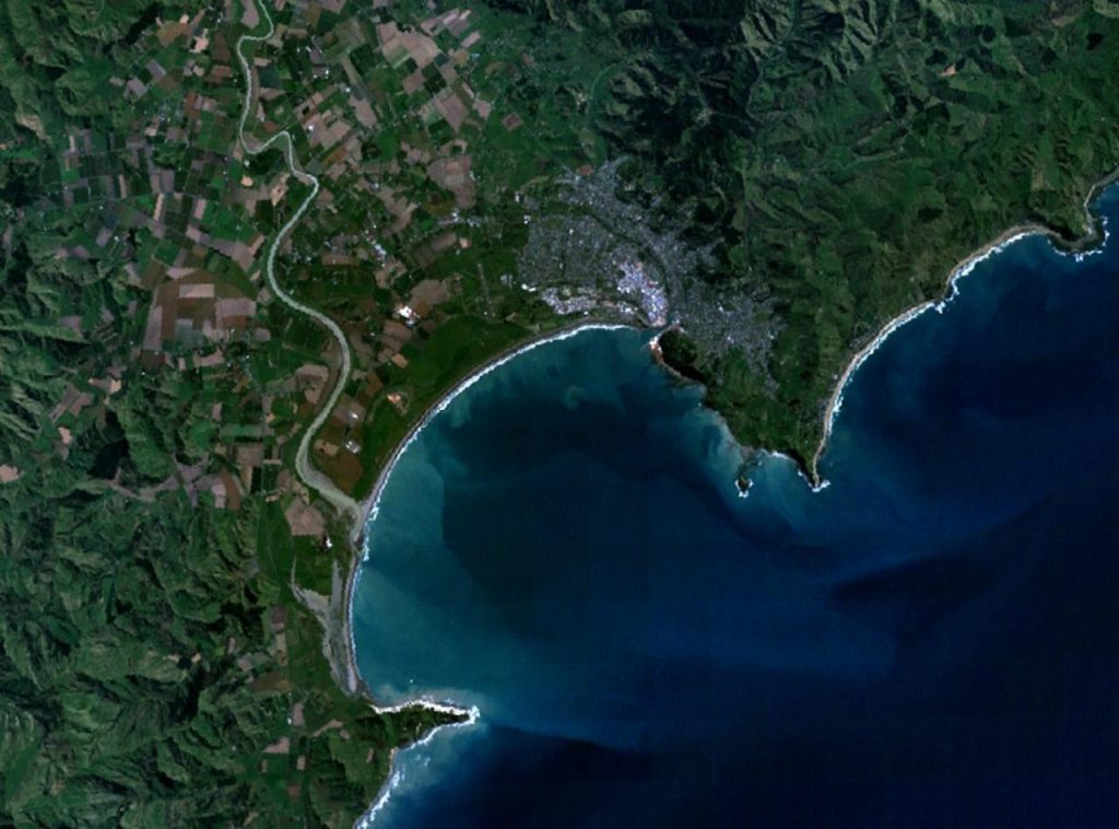
Gisborne, located on the northeastern coast of New Zealand’s North Island, is known for its lush farmlands, fertile soils, and its significant role in the country’s horticulture and agriculture industries. With its ideal climate for growing crops such as kiwifruit, grapes, and avocados, Gisborne has become a key player in New Zealand’s agriculture sector. As the industry faces the challenges of climate variability, sustainability, and increasing demand, satellite data is emerging as a powerful tool to help farmers in Gisborne optimize their operations and secure a prosperous future.
Enhancing Kiwifruit Production with Satellite Data
Kiwifruit is one of the key exports from Gisborne, and the region is a significant contributor to New Zealand’s kiwifruit industry. Satellite data is revolutionizing how kiwifruit growers manage their orchards by providing real-time information on crop health, irrigation needs, and pest management.
- Crop Health Monitoring: Using satellite imagery, farmers can monitor the health of their kiwifruit vines by analyzing vegetation indices like NDVI. This enables the detection of stress early on, whether it’s from diseases, nutrient deficiencies, or water stress. This proactive approach helps farmers take timely action, ensuring that their crops thrive and are ready for harvest.
- Pest and Disease Control: Gisborne’s warm climate can be conducive to the growth of pests and diseases that affect kiwifruit production. Satellite data, when combined with ground-based monitoring systems, can help track pest activity and disease outbreaks, enabling farmers to apply pest control measures only when necessary, reducing the use of chemicals and minimizing their environmental impact.
Optimizing Vineyard Management
Gisborne is also known for its vineyards, particularly its production of white wines such as Chardonnay. With the region’s rapidly changing climate and growing demand for high-quality wines, vineyard managers are turning to satellite data to make more informed decisions about their crops.
- Precision Viticulture: Satellite imagery allows vineyard managers to monitor the condition of their vines throughout the growing season. By examining factors like soil moisture, vegetation density, and plant health, farmers can identify the best times to irrigate, prune, or harvest. This data-driven approach ensures that vines receive the right care at the right time, improving the quality of the wine.
- Climate Adaptation: With the effects of climate change becoming more pronounced, Gisborne’s wine growers are increasingly focused on adapting their practices to changing weather patterns. Satellite data provides valuable insights into temperature trends, rainfall patterns, and other climatic factors that influence grape production. By analyzing this data, vineyard managers can adjust planting schedules, select appropriate grape varieties, and even manage the microclimates within their vineyards to maintain consistent wine quality.
Sustainable Avocado Farming
The avocado industry has exploded in recent years, and Gisborne’s warm and sunny climate makes it a prime location for growing this popular fruit. Satellite data is helping avocado farmers in the region adopt more sustainable farming practices that enhance productivity while minimizing environmental impact.
- Water Management: Avocados are highly sensitive to water stress, and efficient irrigation is essential for maintaining healthy crops. Satellite data provides farmers with detailed insights into soil moisture levels across their orchards, helping them optimize irrigation schedules. By applying water only where and when it’s needed, farmers can reduce water waste and ensure that their trees are consistently healthy.
- Nutrient Management: Satellite imagery can also be used to assess the nutrient levels in avocado orchards. By identifying areas with nutrient deficiencies, farmers can apply fertilizers more efficiently, ensuring that their trees receive the right nutrients for optimal growth. This targeted approach helps to reduce the environmental impact of fertilizer use while improving crop yields.
Reducing Environmental Impact with Satellite Monitoring
Sustainability is a key concern for many farmers in Gisborne, particularly as the agricultural industry faces increasing pressure to minimize its environmental footprint. Satellite data is playing a significant role in helping farmers track and manage their environmental impact.
- Erosion Control: Gisborne’s hilly terrain can make the region vulnerable to soil erosion, particularly after heavy rainfall. Satellite data allows farmers to monitor soil conditions and identify areas at risk of erosion. This information can be used to implement erosion control measures such as planting cover crops or creating terracing, which help to prevent soil degradation and maintain productive land.
- Biodiversity Monitoring: The use of satellite imagery in Gisborne is also aiding in biodiversity conservation. By monitoring land use changes, deforestation, and habitat loss, satellite data helps farmers assess the impact of their agricultural practices on local ecosystems. This can lead to more informed decisions about land management, including the preservation of natural habitats and the integration of biodiversity-friendly practices into farming operations.
Precision Irrigation and Resource Optimization
Efficient use of resources is critical in Gisborne, where water availability can vary throughout the year. Satellite data, combined with ground-based sensors, is enabling farmers to manage irrigation and other resources more efficiently.
- Targeted Irrigation: Satellite-based soil moisture monitoring provides farmers with the information they need to apply water precisely, reducing waste and ensuring that crops receive the right amount of irrigation. This approach not only conserves water but also improves crop yields by ensuring that plants are well-watered throughout their growth cycle.
- Resource Allocation: Satellite data can also help farmers make more informed decisions about how to allocate resources across their farms. Whether it’s deciding where to plant crops or how to distribute fertilizer, satellite data provides insights that help farmers optimize resource use and reduce costs. This is particularly important in Gisborne, where maximizing the efficiency of farming practices can help support the region’s growing agricultural industry.
Supporting Resilience to Climate Change
Gisborne, like many agricultural regions, faces challenges related to climate change. Satellite data plays a crucial role in helping farmers adapt to these changes and build resilience into their operations.
- Extreme Weather Forecasting: With changing weather patterns, farmers in Gisborne are increasingly at risk of extreme events such as droughts, floods, and heatwaves. Satellite-based weather forecasting tools provide early warnings of such events, allowing farmers to take preventive measures, such as adjusting irrigation schedules or protecting vulnerable crops.
- Long-Term Climate Data: Satellite data also provides long-term insights into climatic trends, such as shifting rainfall patterns and rising temperatures. This allows farmers to adapt their practices to changing conditions, whether it’s selecting more resilient crop varieties, adjusting planting and harvest schedules, or investing in climate-resilient infrastructure.
Conclusion
Satellite data is transforming agriculture in the Gisborne region by enabling farmers to optimize crop management, conserve resources, and adopt sustainable practices. Whether it’s enhancing kiwifruit production, improving vineyard management, or supporting avocado farmers in their water and nutrient management, the applications of satellite data are diverse and powerful. As climate change continues to impact agriculture globally, satellite data will be an essential tool in helping farmers in Gisborne navigate these challenges, ensuring that the region remains a key player in New Zealand’s agricultural industry for years to come.