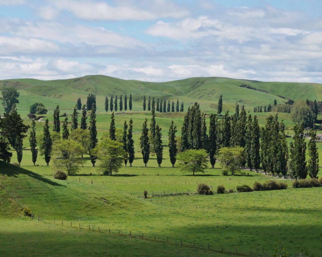
The Waikato region, located in the central North Island of New Zealand, is one of the country’s most important agricultural areas. Known for its dairy farming, crop production, and pastoral farming, the region relies heavily on innovative technologies to maintain its agricultural output. Satellite data is playing an increasingly significant role in optimizing agricultural practices in Waikato, providing insights that enhance productivity, sustainability, and resource management. In this article, we’ll explore the ways satellite technology is transforming agriculture in the Waikato region.
Satellite Data for Precision Agriculture for Dairy Farming
Waikato is the heart of New Zealand’s dairy industry, home to numerous dairy farms that produce high-quality milk and dairy products. Satellite data is helping farmers improve dairy farming practices by offering detailed insights into pasture health, irrigation management, and herd management.
- Pasture Health Monitoring: Satellite imagery can track the condition of pastures across vast dairy farms. By using vegetation indices such as NDVI, farmers can assess the quality of their pastures and determine areas that require more attention. Healthy pastures are crucial for maintaining high milk yields, and early detection of pasture stress can help farmers take timely action to address issues such as soil nutrient deficiencies, pests, or disease.
- Efficient Grazing Management: With satellite data, farmers can optimize grazing patterns by analyzing pasture growth and distribution. This allows for better rotation of grazing areas, reducing overgrazing and helping to maintain soil fertility. By tracking grazing pressure and identifying underutilized or overgrazed areas, satellite data supports sustainable pasture management practices that can improve long-term productivity.
Crop Management and Yield Estimation
While Waikato is famous for its dairy farming, the region also has a thriving crop production sector, including maize, wheat, and various vegetables. Satellite data is proving to be a game-changer in crop management, providing valuable information for crop monitoring, yield prediction, and precision agriculture.
- Crop Health Monitoring: Satellite imagery allows farmers to monitor the health of crops throughout their growth cycle. By assessing the level of chlorophyll in plants, farmers can detect early signs of nutrient deficiencies, water stress, or pest damage. This enables them to take corrective actions, such as adjusting fertilization or applying pesticides, before problems become widespread and affect yield.
- Yield Estimation: Accurate yield forecasting is essential for planning harvests, managing supply chains, and minimizing waste. Satellite data provides valuable insights into crop development stages, which can be used to predict potential yields. By combining satellite imagery with ground-truth data, such as soil moisture readings and historical yield records, farmers can refine their yield predictions and make more informed decisions.
Water Management and Irrigation
Water is a critical resource for agriculture, and Waikato’s farmers face the challenge of ensuring optimal irrigation practices while preserving water resources. Satellite data is making it easier for farmers to monitor soil moisture levels and manage irrigation more efficiently.
- Soil Moisture Monitoring: Satellite sensors can detect variations in soil moisture across different fields, providing farmers with a detailed picture of moisture distribution. This allows for better irrigation planning and ensures that crops receive the right amount of water at the right time. By reducing water wastage and improving crop growth, satellite-based moisture monitoring helps enhance both productivity and sustainability.
- Precision Irrigation: Satellite data can be integrated with precision irrigation systems, enabling farmers to apply water only where it’s needed most. This targeted approach reduces water usage, lowers costs, and improves crop yields. Additionally, it helps farmers comply with environmental regulations by ensuring that irrigation practices are sustainable and efficient.
Environmental Monitoring and Sustainability
Sustainability is a key focus for farmers in the Waikato region, as the agricultural sector faces increasing pressure to reduce its environmental impact. Satellite data is helping farmers monitor environmental factors such as land use, water quality, and carbon emissions, promoting more sustainable farming practices.
- Monitoring Land Use and Erosion: Satellite imagery can be used to monitor land use changes, identify areas at risk of erosion, and track soil health over time. This allows farmers to implement erosion control measures, such as planting cover crops or establishing riparian buffers, which help protect the environment while maintaining productivity.
- Water Quality and Pollution: Satellite sensors can detect water quality parameters, such as turbidity and algae blooms, in nearby rivers, lakes, and groundwater sources. By monitoring these indicators, farmers can better understand the environmental impact of their practices, ensuring that they are not contributing to water pollution. This data can also inform water management strategies to protect local ecosystems and comply with regulatory requirements.
Climate and Weather Forecasting
New Zealand’s climate can be unpredictable, and farmers in the Waikato region must be prepared for varying weather conditions, such as droughts, frosts, and heavy rainfall. Satellite data plays a crucial role in providing accurate climate and weather forecasts, helping farmers plan for extreme weather events and adapt their practices accordingly.
- Early Warning Systems for Extreme Weather: Satellites can detect and track the development of severe weather events, such as cyclones or storms, allowing farmers to take precautionary measures in advance. For example, satellite-based weather data can alert farmers to the potential for frosts, enabling them to protect sensitive crops or adjust planting schedules.
- Long-Term Climate Trends: Satellite data can also be used to monitor long-term climate trends, such as shifts in temperature and precipitation patterns. This information helps farmers make strategic decisions, such as adjusting crop rotation schedules, selecting more resilient crop varieties, or investing in climate-adaptive infrastructure.
Supporting Sustainable Livestock Farming
In addition to dairy farming, livestock farming is another important sector in the Waikato region. Satellite data is helping farmers manage their livestock operations more efficiently by providing insights into pasture availability, herd health, and resource allocation.
- Herd Health Monitoring: While not directly related to satellite imagery, the integration of satellite data with IoT (Internet of Things) sensors allows for real-time tracking of herd health. Satellite data can help farmers identify patterns in grazing behavior or detect areas of the farm where livestock might be experiencing health issues, such as respiratory problems or reduced feed intake.
- Sustainable Resource Management: Satellite data allows farmers to optimize the use of land for both grazing and cropping, ensuring that resources are used efficiently. By analyzing land use patterns and pasture quality over time, farmers can make informed decisions about where to allocate their resources, improving overall sustainability.
Conclusion
Satellite data is transforming agriculture in the Waikato region by providing valuable insights that enhance productivity, sustainability, and resource management. From precision irrigation and crop monitoring to environmental sustainability and climate forecasting, the use of satellite technology is helping farmers navigate the challenges of modern agriculture. As technology continues to evolve, the potential for satellite data to further revolutionize farming in Waikato is immense, offering new opportunities for improving yields, reducing environmental impact, and ensuring the long-term viability of the region’s agricultural industries.