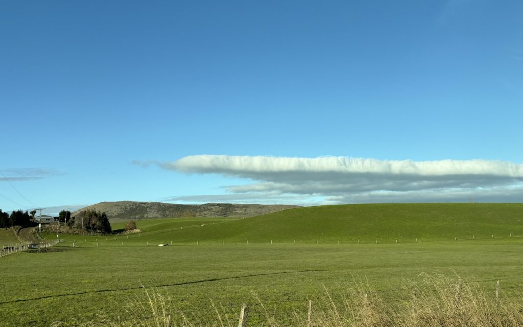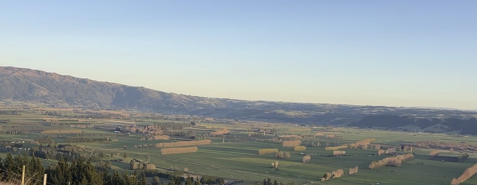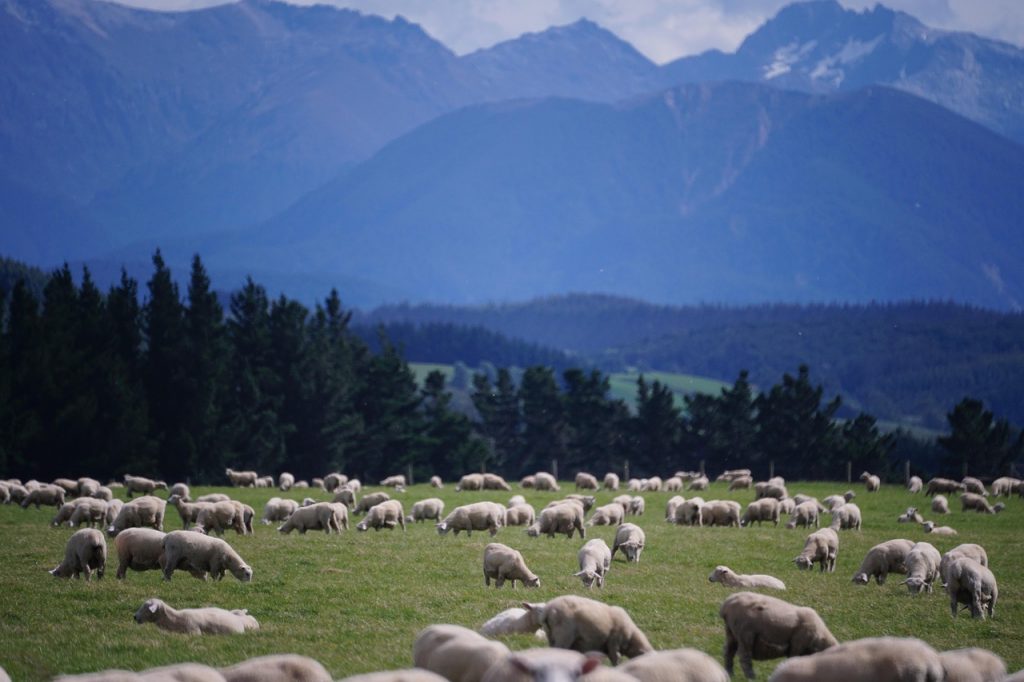
Auckland, New Zealand’s largest city, is often associated with its urban skyline and bustling ports. However, the region also boasts a surprisingly vibrant agricultural sector that extends from the rolling pastures of Franklin to the horticultural hubs of Pukekohe. In this unique intersection of urban and rural landscapes, satellite technology is playing a pivotal role in driving innovation and sustainability.
Satellite Technology in Auckland’s Agricultural Landscape
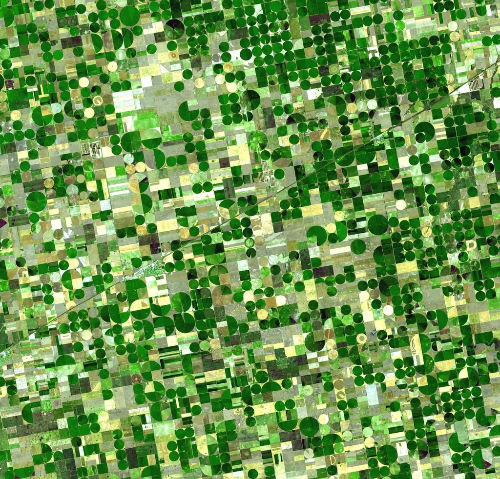
The Auckland region’s diverse agricultural activities—from vegetable farming to boutique vineyards—are benefiting from the integration of satellite data. Here’s how these technologies are making an impact:
- Enhancing Horticultural Productivity Pukekohe, known as New Zealand’s “food bowl,” produces a significant portion of the country’s vegetables. Satellite imagery is helping farmers monitor crop health, soil moisture, and nutrient levels in real time. This precision management ensures higher yields and reduces waste, particularly in crops like onions, potatoes, and carrots.
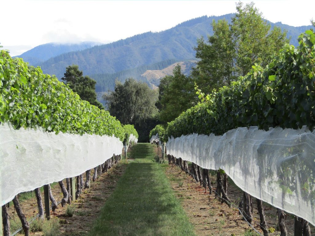
- Supporting Sustainable Practices in Vineyards Boutique vineyards around Auckland’s periphery, including Waiheke Island, are leveraging satellite data to monitor vine health and optimize irrigation. By analyzing microclimates, winemakers can craft premium wines that reflect the unique terroir of the region.
- Urban-Rural Integration Auckland’s proximity to urban markets creates unique opportunities for farmers to integrate technology. Satellite tools provide detailed insights into supply chain logistics, helping growers coordinate harvests and deliveries to meet the demands of city consumers efficiently.
- Climate Resilience in the Face of Urban Growth As Auckland’s urban sprawl encroaches on farmland, satellite data is being used to identify high-value agricultural areas and prioritize them for conservation. Additionally, climate-monitoring satellites are helping farmers adapt to changing weather patterns, ensuring long-term resilience.
Success Stories in Auckland’s Agricultural Innovation
- Vegetable Growers Embracing Precision Farming Farmers in Pukekohe have adopted satellite-guided tools to manage their fields with remarkable accuracy. By tracking soil conditions and plant growth, they’ve been able to reduce water and fertilizer usage while maintaining high productivity.
- Boutique Vineyards Leading Sustainability On Waiheke Island, several vineyards are using satellite insights to create targeted irrigation schedules, reducing water consumption during dry summers. These efforts are helping to balance sustainability with premium wine production.
- Collaboration Between Tech and Agriculture Startups based in Auckland are partnering with local farmers to develop user-friendly platforms that integrate satellite data with farm management systems. These collaborations are fostering innovation and making high-tech solutions accessible to smaller operations.
Overcoming Challenges in Urban-Adjacent Farming
While the potential for satellite technology in Auckland’s agriculture is immense, certain challenges remain:
- Balancing Urban Development and Farmland Preservation: As the city grows, maintaining a balance between development and agricultural needs requires careful planning informed by satellite data.
- Cost Barriers for Small Farmers: Access to advanced technology can be prohibitive for small-scale growers, necessitating subsidies or cooperative models.
- Data Integration: Merging satellite insights with traditional farming methods and local knowledge takes time and training.
Government initiatives and private sector collaborations are addressing these challenges by offering financial support, education programs, and platforms tailored to Auckland’s unique agricultural environment.
The Future of Agriculture in Auckland
As Auckland continues to evolve, its agricultural sector is poised to thrive by embracing satellite technology. Emerging tools like AI-powered analytics and drone-satellite integration promise even greater precision and efficiency in farming practices.
For a region that bridges the gap between urban vibrancy and rural tradition, satellite-driven agriculture represents a path forward. It ensures that Auckland’s farmers can continue to provide fresh, high-quality produce and premium wines to both local and international markets, all while safeguarding the environment and adapting to the challenges of a changing world.