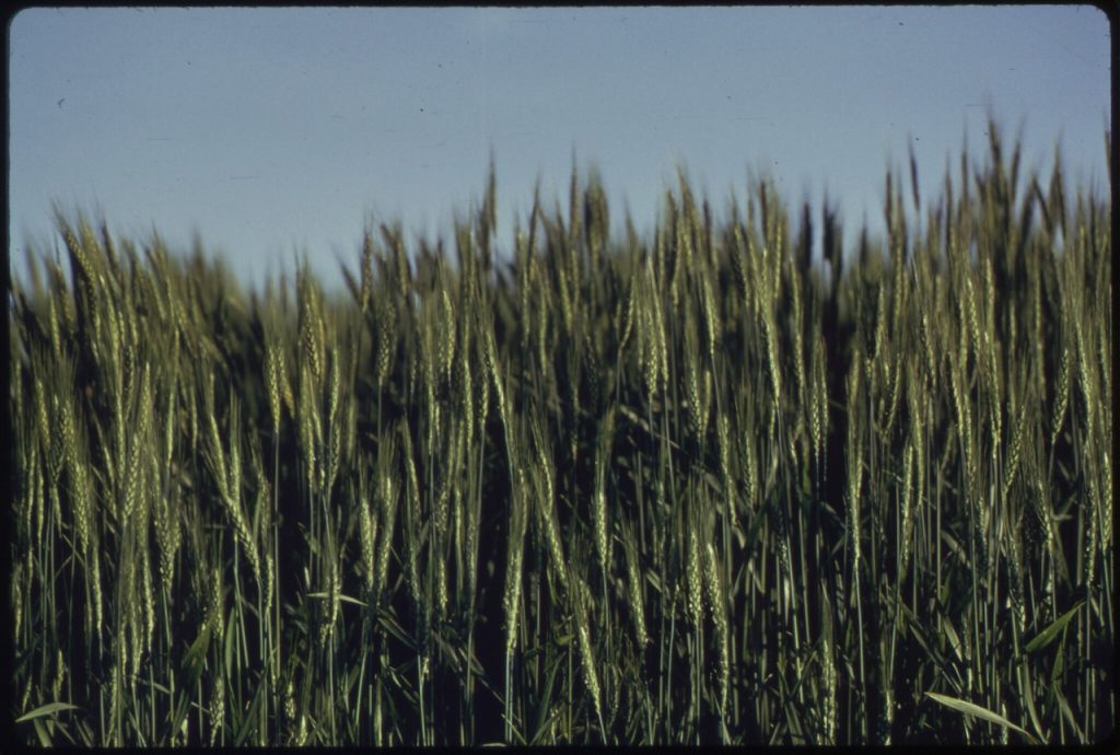
Spring wheat, a variety of wheat that is typically planted in the spring and harvested in late summer or early fall, is an essential crop in many regions, particularly in areas with a colder climate. Known for its resilience in cooler growing conditions, spring wheat plays a key role in global food security. As with all forms of agriculture, spring wheat farming faces challenges such as unpredictable weather, pest management, and resource optimization. Satellite data is proving to be a game-changer in addressing these challenges, providing valuable insights for improving crop health, irrigation management, and yield forecasting. This article explores how satellite technology is revolutionizing the cultivation of spring wheat.
Optimizing Planting and Growth Stages Using Satellite Data
The success of spring wheat cultivation depends heavily on the ability to plant at the right time and manage growth stages efficiently. Satellite imagery is particularly beneficial for monitoring the early stages of wheat growth, especially when it comes to assessing soil moisture, temperature, and overall field conditions.
By analyzing satellite data, farmers can identify the best time to plant spring wheat based on soil moisture content and temperature trends. These insights help farmers avoid planting too early when the ground is too cold or too wet, or too late when the growing season might be shortened. Additionally, satellite data can track the crop’s growth stages, from germination to heading, providing critical information on the crop’s development and helping farmers make adjustments to their management practices when necessary.
Precision Irrigation for Spring Wheat
Water management is a crucial factor in the success of spring wheat farming. Spring wheat requires consistent moisture during its early growth stages but can withstand drier conditions once it matures. Over-irrigation can lead to poor root development and wasted resources, while under-irrigation can result in stunted growth and reduced yields.
Satellite data, particularly from sensors that monitor soil moisture, provides farmers with detailed insights into the moisture levels across their fields. This data allows farmers to implement precision irrigation strategies, applying water only where it is needed. In addition, satellite-based monitoring helps farmers to avoid over-irrigating areas with sufficient moisture, leading to water conservation and cost savings.
By combining satellite data with ground-based sensor technology, farmers can adjust irrigation systems to ensure optimal water distribution, enhancing crop health and minimizing water usage. This is especially important in areas with limited water resources or during drought conditions, where efficient water management can make the difference between a successful harvest and crop failure.
Monitoring Crop Health with Vegetation Indices
One of the primary applications of satellite data in spring wheat farming is the monitoring of crop health. Vegetation indices, such as the Normalized Difference Vegetation Index (NDVI), are used to measure the amount of green biomass in the crop and provide an indication of its overall health. NDVI can highlight areas of the field that are experiencing stress due to disease, pests, or nutrient deficiencies, enabling farmers to take action before these issues spread.
Satellite imagery can track NDVI values over time, helping farmers assess the effectiveness of their inputs, such as fertilizers and pesticides, and determine if additional treatments are necessary. This data allows farmers to focus on areas of the field that need attention, reducing the need for blanket applications of chemicals and ensuring that interventions are targeted and effective.
Early Detection of Pests and Diseases
Spring wheat is vulnerable to a range of pests and diseases, including wheat rust, aphids, and fusarium head blight. Early detection of these threats is essential to minimize damage and protect the yield. Traditional pest and disease monitoring can be labor-intensive and may not detect issues early enough to prevent significant damage.
Satellite data provides a more efficient solution for pest and disease monitoring. By using multispectral imagery, farmers can identify subtle changes in crop color and health that indicate the presence of pests or diseases. For example, wheat rust often causes chlorosis, or yellowing, in the leaves, which can be detected by satellite sensors. Early detection allows farmers to apply pesticides or fungicides only to the affected areas, reducing pesticide use and mitigating environmental impacts.
Yield Forecasting and Productivity Estimation
Accurate yield forecasting is essential for farmers to plan harvests, manage labor resources, and estimate market supply. Traditional yield estimation methods, such as visual inspections or historical data, can be inaccurate and time-consuming. Satellite data, however, offers a more reliable and scalable approach to yield prediction.
By analyzing satellite imagery at various growth stages of the wheat crop, farmers can gain valuable insights into crop density, health, and biomass accumulation. This data, combined with historical yield data and weather information, can be used to create highly accurate yield forecasts. These predictions are not only valuable for farmers but also for grain traders, food processors, and policymakers who rely on accurate production estimates to manage supply chains and ensure food security.
Assessing Soil Health and Fertility
Soil health is a critical factor for the long-term success of spring wheat cultivation. Healthy soils support strong root development, enhance water retention, and provide the nutrients necessary for optimal crop growth. Soil degradation, nutrient imbalances, and erosion can all significantly reduce wheat yields.
Satellite data, when combined with soil sensors and field-level soil sampling, provides farmers with a comprehensive view of their soil health. Satellite imagery can track changes in soil moisture, temperature, and vegetation growth, which are influenced by soil conditions. This information helps farmers assess the fertility of their soils and make decisions about the need for fertilization or soil amendments. By optimizing soil health, farmers can improve crop resilience, increase yields, and reduce the environmental impact of their farming practices.
Managing Climate Variability and Weather Risks
Spring wheat farming is often subject to unpredictable weather patterns, such as late frosts, droughts, and heatwaves, which can significantly affect crop growth and yields. Satellite data helps farmers monitor and manage climate variability by providing real-time weather information and long-term climate trend analysis.
With satellite-based weather data, farmers can track temperature fluctuations, rainfall, and other climatic factors that may impact their crops. This information allows for better planning and risk mitigation strategies, such as adjusting planting schedules or selecting wheat varieties that are more resistant to extreme weather conditions. Additionally, satellite-based weather forecasts can help farmers prepare for and respond to extreme weather events, such as early frost or sudden heatwaves, minimizing potential damage to the crop.
Conclusion
The use of satellite data in spring wheat cultivation is transforming how farmers manage their crops, from planting and irrigation to pest control and yield forecasting. By harnessing the power of satellite imagery and remote sensing technologies, farmers can make more informed decisions, optimize resource use, and enhance productivity.
As the pressures of climate change and growing food demand continue to challenge global wheat production, satellite data offers a vital tool for improving the sustainability, efficiency, and resilience of spring wheat farming. With ongoing advancements in satellite technology and data analytics, the future of spring wheat cultivation looks brighter than ever.