Satellite data has become a crucial tool in modern agriculture, enabling farmers to make better decisions, optimize resources, and improve yields. In Japan, where land is limited and environmental conditions can be challenging, satellite data offers valuable insights into crop health, soil moisture, weather patterns, and more. This article explores the use of Remotely sensed data in Japanese agriculture and how it benefits both farmers and stakeholders in the agricultural sector.
Monitoring Crop Health with Satellite Data
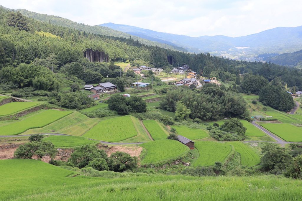
Satellite imagery, such as data from Landsat or Sentinel-2, provides a comprehensive view of crop health across vast areas. In Japan, where rice and other crops are cultivated in regions with varied topographies, monitoring crop health from space allows farmers to detect issues like nutrient deficiencies, pest infestations, or diseases at an early stage. Vegetation indices like NDVI (Normalized Difference Vegetation Index) are used to assess the health and vitality of crops, providing valuable information for precision farming practices.
Optimizing Irrigation Practices
Water management is a critical issue for farmers, especially in dry regions or areas with inconsistent rainfall patterns. By using remotely sensed data on soil moisture and weather conditions, farmers can optimize irrigation schedules. The Japan Meteorological Agency (JMA) uses satellite-based observations to track weather and predict droughts or heavy rainfall, allowing farmers to adjust irrigation systems accordingly. This reduces water wastage and ensures that crops receive the right amount of water at the right time.
Crop Yield Estimation
Estimating crop yields before harvest is essential for agricultural planning and market forecasting. Satellite data enables accurate crop yield predictions based on variables such as weather, soil conditions, and crop growth patterns. In Japan, this information can be used by farmers, government agencies, and market analysts to predict harvests and manage supply chains effectively. Accurate yield estimates can also help prevent market volatility and ensure food security.
Disaster Management and Risk Assessment
Japan is prone to natural disasters such as typhoons, earthquakes, and floods, which can have devastating effects on agriculture. Satellite data plays a crucial role in disaster management by providing real-time information about damage to crops and infrastructure. For example, after a typhoon, satellite images can be analyzed to assess the extent of crop loss and guide recovery efforts. Furthermore, satellite data is used in risk assessment models to predict the likelihood of future disasters and prepare farmers for potential risks.
Enhancing Sustainability in Agriculture
Sustainability is a key focus in Japanese agriculture, especially with concerns about climate change and environmental degradation. Satellite data can help farmers implement sustainable practices by providing insights into soil health, crop rotation, and land use. By monitoring changes in vegetation and land cover over time, satellite data can inform decisions about sustainable farming practices that reduce the environmental impact and promote long-term agricultural productivity.
Conclusion
The use of satellite data in agriculture is transforming farming practices in Japan. By providing detailed insights into crop health, water usage, yield predictions, and disaster management, satellite data empowers farmers to make data-driven decisions that enhance productivity and sustainability. As technology continues to advance, the potential for satellite data to revolutionize agriculture in Japan is vast, helping to ensure food security and environmental resilience in the face of growing challenges.