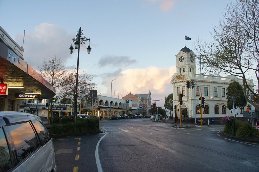
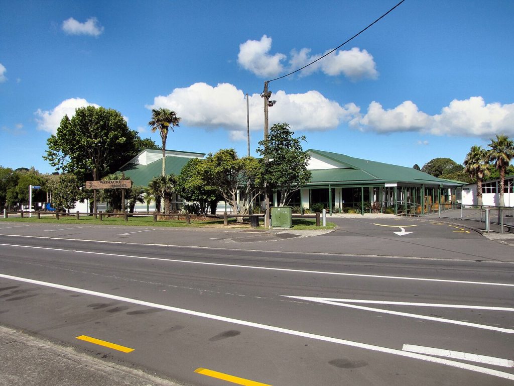
Choosing the right school for your child is one of the most important decisions you’ll make as a parent. If you’re considering moving to the Waitematā area or you’re already living here, you’re in luck. Waitematā offers a variety of primary schools that cater to different educational needs and community values. Below is an overview of some top schools in the area, each offering a unique experience for your child’s growth and development.
Bayfield School
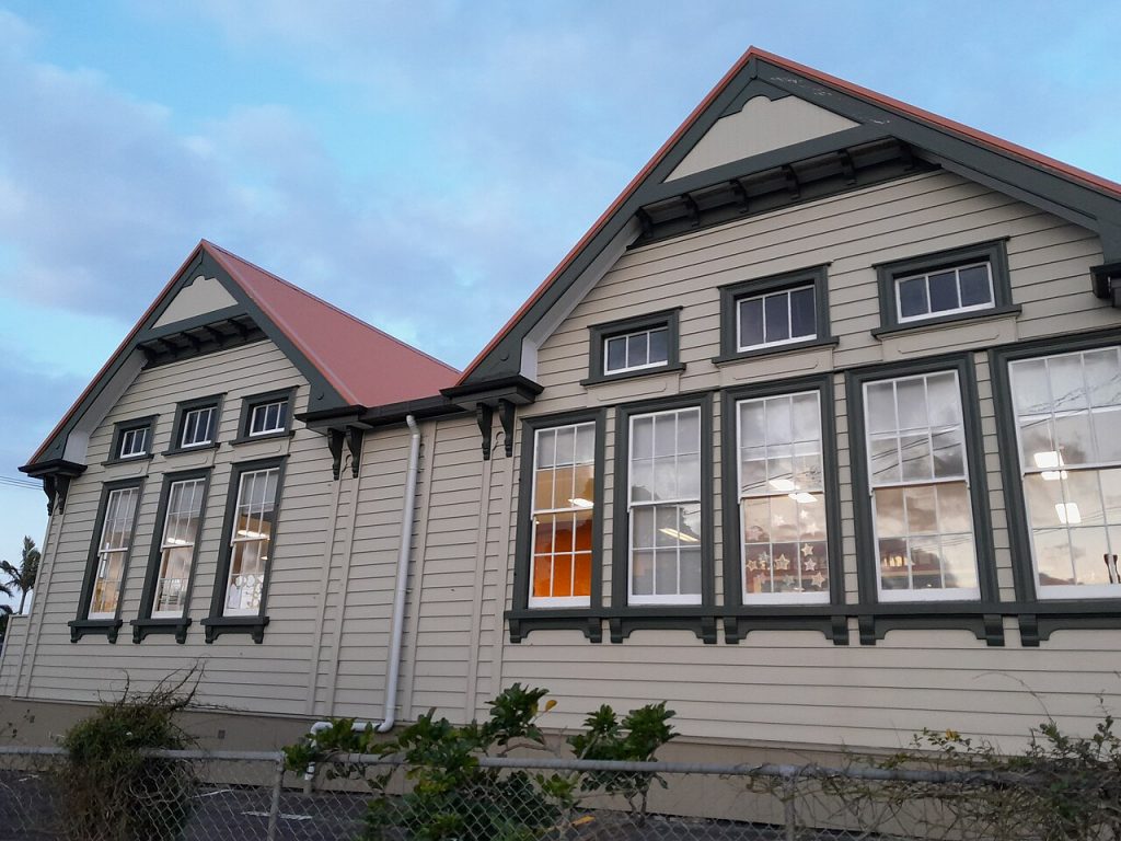
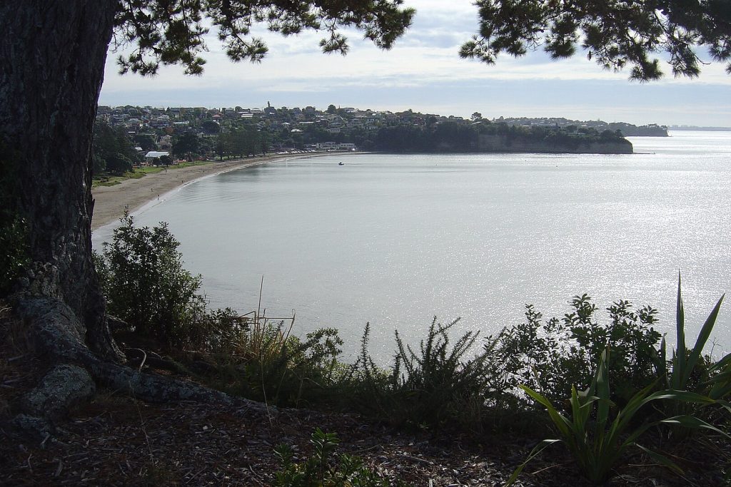
Bayfield School, located in the vibrant Herne Bay area, offers an enriching education for students from Years 1 to 6. The school has a warm, inclusive environment where children are encouraged to develop both academically and socially. With a roll of 379 students, Bayfield focuses on fostering a love for learning while also preparing children for future challenges.
| MOE | Years | Area | Authority | Opened | Roll | Notes |
|---|---|---|---|---|---|---|
| 1220 | 1–6 | Herne Bay | State | – | 379 | – |
Freemans Bay School
Located in the heart of Freemans Bay, Freemans Bay School is a thriving community hub for students in Years 1 to 6. With a roll of 605, this school offers a modern, supportive environment where creativity and critical thinking are nurtured. It’s an ideal choice for parents looking for a balanced curriculum in a central location.
| MOE | Years | Area | Authority | Opened | Roll | Notes |
|---|---|---|---|---|---|---|
| 1279 | 1–6 | Freemans Bay | State | – | 605 | – |
Grey Lynn School
Grey Lynn School offers a welcoming atmosphere for students from Years 1 to 6. With a roll of 290, it’s a smaller school with a strong sense of community. The school focuses on academic excellence, alongside fostering values like respect, kindness, and collaboration.
| MOE | Years | Area | Authority | Opened | Roll | Notes |
|---|---|---|---|---|---|---|
| 1301 | 1–6 | Grey Lynn | State | – | 290 | – |
Kadimah School
Kadimah School, a State-integrated Jewish school, offers education for students from Years 1 to 8. Established in 1971, the school has a roll of 362. With its commitment to Jewish values and traditions, Kadimah offers a unique educational experience that integrates both academic learning and cultural heritage.
| MOE | Years | Area | Authority | Opened | Roll | Notes |
|---|---|---|---|---|---|---|
| 453 | 1–8 | Newton | State integrated | 1971 | 362 | Jewish |
Marist School
Marist School is a small, intimate Catholic school offering education from Years 1 to 8. Located in Ponsonby, the school has a roll of 145 students and has been serving the community since 1928. Marist focuses on nurturing children’s spiritual growth while providing them with a solid academic foundation.
| MOE | Years | Area | Authority | Opened | Roll | Notes |
|---|---|---|---|---|---|---|
| 1360 | 1–8 | Ponsonby | State integrated | 1928 | 145 | Catholic |
Newmarket School
Newmarket School, with a roll of 289, is an excellent choice for families seeking a progressive learning environment. Serving students from Years 1 to 6, Newmarket School prides itself on offering a diverse and inclusive curriculum in one of Auckland’s most sought-after suburbs.
| MOE | Years | Area | Authority | Opened | Roll | Notes |
|---|---|---|---|---|---|---|
| 1391 | 1–6 | Newmarket | State | – | 289 | – |
Newton Central School
Newton Central School offers a welcoming and diverse learning environment for students from Years 1 to 6. Located in Grey Lynn, it is a community-centered school with a roll of 351. Newton Central places a strong emphasis on academic achievement and social development.
| MOE | Years | Area | Authority | Opened | Roll | Notes |
|---|---|---|---|---|---|---|
| 1392 | 1–6 | Grey Lynn | State | – | 351 | – |
Parnell School
Parnell School is one of the oldest schools in the area, dating back to 1893. Offering education for both primary and intermediate students (Years 1 to 8), the school has a roll of 515. Known for its exceptional academic programs, Parnell also boasts beautiful grounds that foster outdoor learning.
| MOE | Years | Area | Authority | Opened | Roll | Notes |
|---|---|---|---|---|---|---|
| 1436 | 1–8 | Parnell | State | 1893 | 515 | – |
Ponsonby Intermediate
Ponsonby Intermediate offers a fantastic learning environment for students in their intermediate years (Years 7 and 8). With a roll of 510, it provides an excellent foundation for students transitioning to secondary school while focusing on leadership, critical thinking, and personal growth.
| MOE | Years | Area | Authority | Opened | Roll | Notes |
|---|---|---|---|---|---|---|
| 1445 | 7–8 | Ponsonby | State | – | 510 | – |
Ponsonby Primary School
Ponsonby Primary School is a longstanding educational institution in Herne Bay, offering education from Years 1 to 6. The school is known for its dedicated teachers and a rich learning environment. With a roll of 339, Ponsonby is an ideal choice for families in search of a community-focused primary school.
| MOE | Years | Area | Authority | Opened | Roll | Notes |
|---|---|---|---|---|---|---|
| 1446 | 1–6 | Herne Bay | State | 1873 | 339 | – |
Conclusion
Waitematā offers an array of excellent schools, each with its unique features. From state-integrated schools with religious or cultural focus to large, community-based institutions, the region ensures that parents have a variety of options when selecting a school for their child. Whether you’re looking for a nurturing environment, academic rigor, or extracurricular activities, you’re sure to find the right fit for your family.