For the Analysis of Time-Spatial Data & Satellite Data
Yokohama, Japan – April 2, 2024 – O2, a new service that simplifies the visualization and sharing of geospatial data, has officially launched. It is designed to meet the needs of a wide range of users, from GIS professionals to business users and students.
Key Features
- Easy-to-use interface – O2’s intuitive interface makes it easy for users to upload, visualize, and share geospatial data, even without prior GIS experience.
- Wide range of data support – O2 supports a wide range of geospatial data formats, GeoJSON, CSV and GeoTiff (raster and vector data).
- Seamless sharing – O2 makes it easy to share geospatial data with others via links or embeds.
- Satellite data – O2 offers access to JAXA Earth API and NASA Earth Observations.
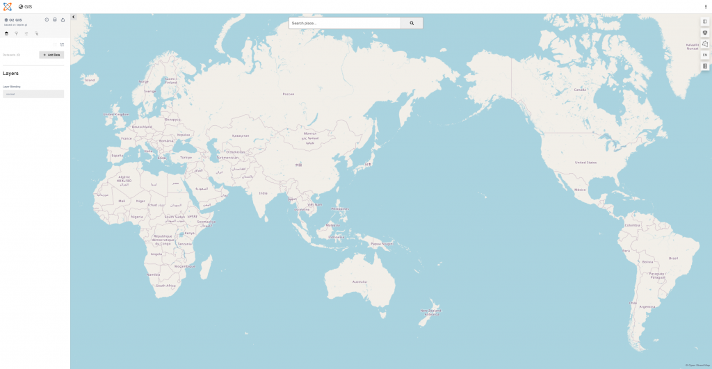
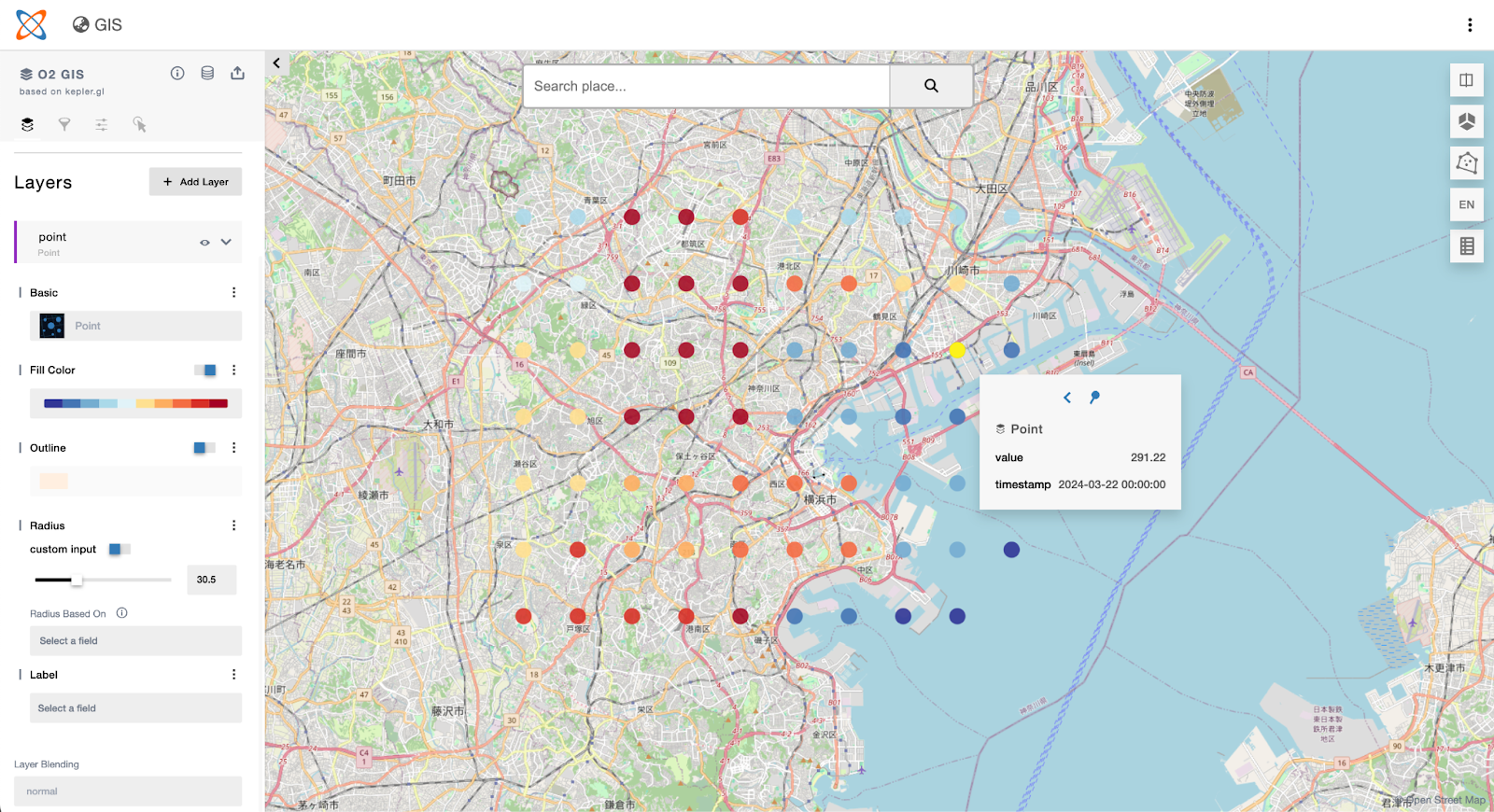
O2 Images


Shared map: https://otn.pt/s/ER8XsV5D
Blog : https://otani.co/o2/kanto-land-price-transition-1983-2023/
YouTube: https://www.youtube.com/watch?v=MLMgP81zI3A
For more information about O2, please visit:
About Otani & Co., Inc.
Otani & Co., Inc. is a geospatial data science company that provides a variety of services, including data visualization, analysis, and consulting. The company was founded in 2010 and is headquartered in Yokohama, Japan. The previously developed software “GEEO” that estimates property and land values with statistical algorithms and open data was awarded both The Encouragement Award for Open Data Application by the Minister for Internal Affairs and Communications and The Good Design Award, one of the prestigious awards for design in Japan.
A digital CV of Yuichiro Otani, a founder of Otani & Co., Inc., can be found in the link below: